Area Overview for EX12 4AU
Photos of EX12 4AU
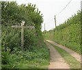
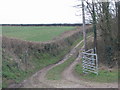
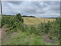
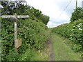
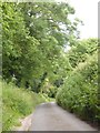
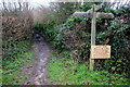
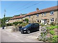
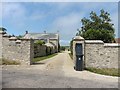
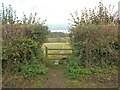
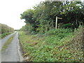
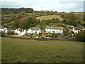
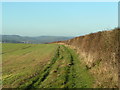
39 photos from this area
Area Information
Key information about the EX12 4AU including its size, population, and administrative classification.
- Area Type
- Postcode
- Area Size
- 13.4 hectares
- Population
- 2549
- Population Density
- 70 people/km²
House Prices in EX12 4AU
11
Properties
£363,750
Average Sold Price
£95,000
Lowest Price
£640,000
Highest Price
Showing 11 properties
| Address | Type | Beds | Baths | Last Sale Price | Last Sale Date | |
|---|---|---|---|---|---|---|
| 2, Coombe Villas, Road From Stepps Cross To Springhead Cross, Axmouth, EX12 4AU | Semi-detached | 3 | 1 | £395,000 | Mar 2025 | |
| The Forge, Road From Stepps Cross To Springhead Cross, Axmouth, EX12 4AU | Detached | 3 | 2 | £640,000 | Jan 2025 | |
| Coombe Bank, Road From Stepps Cross To Springhead Cross, Axmouth, EX12 4AU | Detached | - | - | £325,000 | May 2005 | |
| 1, Coombe Villas, Road From Stepps Cross To Springhead Cross, Axmouth, EX12 4AU | Semi-detached | - | - | £95,000 | Nov 1997 | |
| Appletree Cottage, Road From Stepps Cross To Springhead Cross, Axmouth, EX12 4AU | house | - | - | - | - | |
| Hideaway, Road From Stepps Cross To Springhead Cross, Axmouth, EX12 4AU | house | - | - | - | - | |
| Mistletoe Cottage, Road From Stepps Cross To Springhead Cross, Axmouth, EX12 4AU | house | - | - | - | - | |
| Meadowbank, Road From Stepps Cross To Springhead Cross, Axmouth, EX12 4AU | Detached | - | - | - | - | |
| Coombe Farm, Road From Stepps Cross To Springhead Cross, Axmouth, EX12 4AU | house | - | - | - | - | |
| Coombe Cottage, Road From Stepps Cross To Springhead Cross, Axmouth, EX12 4AU | hotel | - | - | - | - |
Page 1 of 2
Energy Efficiency in EX12 4AU
Amenities
Schools
| Rank | School | Type | Entry gender | Ages |
|---|
Explore more schools in this area
Go to Schools tabDemographics
Household Size
Two person
most common
Accommodation Type
Houses
most common
Tenure
82
majority
Ethnic Group
White
most common
Religion
N/A
most common
Household Composition
N/A
most common
Age
47
median
Adults (30-64 years)
most common
Household Deprivation
N/A
with no deprivation
NS-SEC
42
in Lower managerial occupations
Explore more demographic insights in this area
Go to Demographics tabPlanning
Planning Constraints
- Flood RiskPremium
- Ramsar Wetland SitesPremium
- Area of Outstanding Natural BeautyPremium
- Protected Nature ReservePremium
- Protected WoodlandPremium