Area Overview for EX11 1NA
Photos of EX11 1NA
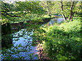
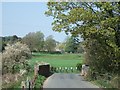
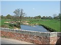
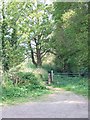
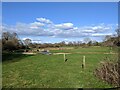
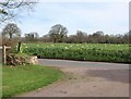

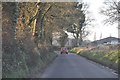
31 photos from this area
Area Information
Key information about the EX11 1NA including its size, population, and administrative classification.
- Area Type
- Postcode
- Area Size
- 26.1 hectares
- Population
- 2590
- Population Density
- 71 people/km²
House Prices in EX11 1NA
8
Properties
£201,000
Average Sold Price
£160,000
Lowest Price
£281,000
Highest Price
Showing 8 properties
| Address | Type | Beds | Baths | Last Sale Price | Last Sale Date | |
|---|---|---|---|---|---|---|
| Bramblings, Gosford Lane, Taleford, EX11 1NA | house | 4 | - | £281,000 | May 2012 | |
| The Minches, Gosford Lane, Taleford, EX11 1NA | Semi-detached | - | - | £162,000 | Aug 2001 | |
| The Rickles, Gosford Lane, Taleford, EX11 1NA | Detached | - | - | £160,000 | Nov 1998 | |
| The Lamplighters, Gosford Lane, Taleford, EX11 1NA | house | 4 | - | - | - | |
| Caravan, Little Gosford Farm, Gosford Lane, Taleford, EX11 1NA | Mobile Home | - | - | - | - | |
| Myrtle Place, Gosford Lane, Taleford, EX11 1NA | Semi-detached | - | - | - | - | |
| 2, Gosford Villas, Gosford Lane, Taleford, EX11 1NA | Semi-detached | - | - | - | - | |
| Lansdown, Gosford Lane, Taleford, EX11 1NA | Detached | - | - | - | - |
Energy Efficiency in EX11 1NA
Amenities
Schools
| Rank | School | Type | Entry gender | Ages |
|---|
Explore more schools in this area
Go to Schools tabDemographics
Household Size
Two person
most common
Accommodation Type
Houses
most common
Tenure
78
majority
Ethnic Group
White
most common
Religion
N/A
most common
Household Composition
N/A
most common
Age
47
median
Adults (30-64 years)
most common
Household Deprivation
N/A
with no deprivation
NS-SEC
38
in Lower managerial occupations
Explore more demographic insights in this area
Go to Demographics tabPlanning
Planning Constraints
- Flood RiskPremium
- Ramsar Wetland SitesPremium
- Area of Outstanding Natural BeautyPremium
- Protected Nature ReservePremium
- Protected WoodlandPremium