Area Overview for EX11 1FP
Photos of EX11 1FP
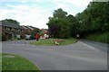
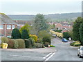
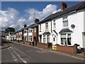
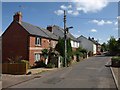
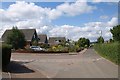
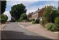
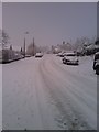
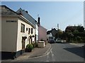
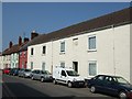
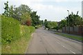
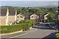
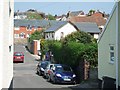
37 photos from this area
Area Information
Key information about the EX11 1FP including its size, population, and administrative classification.
- Area Type
- Postcode
- Area Size
- 6.1 hectares
- Population
- 1806
- Population Density
- 297 people/km²
House Prices in EX11 1FP
66
Properties
£351,635
Average Sold Price
£264,995
Lowest Price
£540,000
Highest Price
Showing 66 properties
| Address | Type | Beds | Baths | Last Sale Price | Last Sale Date | |
|---|---|---|---|---|---|---|
| 107 Butts Road, Ottery St Mary, EX11 1FP | house | 3 | 2 | £399,950 | Jun 2025 | |
| 71 Butts Road, Ottery St Mary, EX11 1FP | Detached | 4 | 2 | £540,000 | Dec 2023 | |
| 65 Butts Road, Ottery St Mary, EX11 1FP | house | - | - | £302,995 | Sep 2017 | |
| 67 Butts Road, Ottery St Mary, EX11 1FP | house | - | - | £264,995 | Aug 2017 | |
| 69 Butts Road, Ottery St Mary, EX11 1FP | house | - | - | £264,995 | Aug 2017 | |
| 63 Butts Road, Ottery St Mary, EX11 1FP | house | - | - | £302,995 | Jul 2017 | |
| 115 Butts Road, Ottery St Mary, EX11 1FP | house | - | - | £354,995 | Dec 2016 | |
| 121 Butts Road, Ottery St Mary, EX11 1FP | Bungalow | - | - | £286,995 | Dec 2016 | |
| 133 Butts Road, Ottery St Mary, EX11 1FP | house | - | - | £404,995 | Dec 2016 | |
| 117 Butts Road, Ottery St Mary, EX11 1FP | house | - | - | £354,995 | Dec 2016 |
Page 1 of 7
Energy Efficiency in EX11 1FP
Amenities
Schools
| Rank | School | Type | Entry gender | Ages |
|---|
Explore more schools in this area
Go to Schools tabDemographics
Household Size
Two person
most common
Accommodation Type
Houses
most common
Tenure
84
majority
Ethnic Group
White
most common
Religion
N/A
most common
Household Composition
N/A
most common
Age
47
median
Adults (30-64 years)
most common
Household Deprivation
N/A
with no deprivation
NS-SEC
39
in Lower managerial occupations
Explore more demographic insights in this area
Go to Demographics tabPlanning
Planning Constraints
- Flood RiskPremium
- Ramsar Wetland SitesPremium
- Area of Outstanding Natural BeautyPremium
- Protected Nature ReservePremium
- Protected WoodlandPremium