Area Overview for EX10 9SD
Photos of EX10 9SD
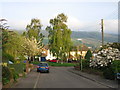
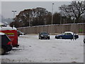
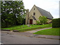
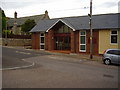

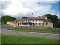
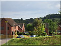
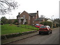
99 photos from this area
Area Information
Key information about the EX10 9SD including its size, population, and administrative classification.
- Area Type
- Postcode
- Area Size
- 17.9 hectares
- Population
- 1583
- Population Density
- 1201 people/km²
House Prices in EX10 9SD
16
Properties
£633,333
Average Sold Price
£350,000
Lowest Price
£900,000
Highest Price
Showing 16 properties
| Address | Type | Beds | Baths | Last Sale Price | Last Sale Date | |
|---|---|---|---|---|---|---|
| Foxgrove, Coreway, Sidford, Sidmouth, EX10 9SD | Bungalow | 3 | 3 | £650,000 | Aug 2025 | |
| Broomleaf Heights, Coreway, Sidford, Sidmouth, EX10 9SD | house | - | - | £900,000 | Mar 2022 | |
| Danetree Lodge, Coreway, Sidford, Sidmouth, EX10 9SD | Bungalow | 3 | - | £350,000 | Sep 2013 | |
| Mountfield, Coreway, Sidford, Sidmouth, EX10 9SD | Detached | 4 | 3 | - | - | |
| Coombe Dingle, Coreway, Sidford, Sidmouth, EX10 9SD | Detached | 4 | 3 | - | - | |
| Horizon, Coreway, Sidford, Sidmouth, EX10 9SD | Detached | 4 | - | - | - | |
| Site Of Old Coombe Dingle, Coreway, Sidford, Sidmouth, EX10 9SD | undefined | - | - | - | - | |
| Bosveneth, Coreway, Sidford, Sidmouth, EX10 9SD | Detached | - | - | - | - | |
| Pippins, Coreway, Sidford, Sidmouth, EX10 9SD | house | - | - | - | - | |
| Seaways, Coreway, Sidford, Sidmouth, EX10 9SD | Bungalow | - | - | - | - |
Page 1 of 2
Energy Efficiency in EX10 9SD
Amenities
Schools
| Rank | School | Type | Entry gender | Ages |
|---|
Explore more schools in this area
Go to Schools tabDemographics
Household Size
Two person
most common
Accommodation Type
Houses
most common
Tenure
83
majority
Ethnic Group
White
most common
Religion
N/A
most common
Household Composition
N/A
most common
Age
47
median
Elderly (65+ years)
most common
Household Deprivation
N/A
with no deprivation
NS-SEC
40
in Lower managerial occupations
Explore more demographic insights in this area
Go to Demographics tabPlanning
Planning Constraints
- Flood RiskPremium
- Ramsar Wetland SitesPremium
- Area of Outstanding Natural BeautyPremium
- Protected Nature ReservePremium
- Protected WoodlandPremium