Area Overview for EX10 9EZ
Photos of EX10 9EZ
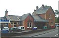
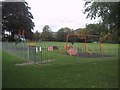
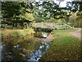
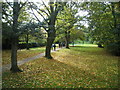
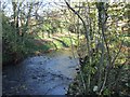
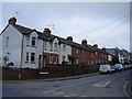
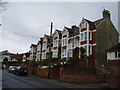
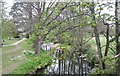
100 photos from this area
Area Information
Key information about the EX10 9EZ including its size, population, and administrative classification.
- Area Type
- Postcode
- Area Size
- 5.2 hectares
- Population
- 1788
- Population Density
- 758 people/km²
House Prices in EX10 9EZ
69
Properties
£306,624
Average Sold Price
£80,000
Lowest Price
£1,000,000
Highest Price
Showing 69 properties
| Address | Type | Beds | Baths | Last Sale Price | Last Sale Date | |
|---|---|---|---|---|---|---|
| 91 Winslade Road, Sidmouth, EX10 9EZ | Terraced | 3 | 1 | £335,000 | Nov 2024 | |
| 123 Winslade Road, Sidmouth, EX10 9EZ | Terraced | 2 | 1 | £289,500 | Sep 2024 | |
| 131 Winslade Road, Sidmouth, EX10 9EZ | Terraced | 3 | 1 | £290,000 | May 2024 | |
| 83 Winslade Road, Sidmouth, EX10 9EZ | Terraced | 3 | 1 | £240,000 | Apr 2024 | |
| 61 Winslade Road, Sidmouth, EX10 9EZ | Terraced | 3 | 1 | £368,750 | Apr 2024 | |
| 127 Winslade Road, Sidmouth, EX10 9EZ | Terraced | 3 | 2 | £250,000 | Aug 2023 | |
| 84A Winslade Road, Sidmouth, EX10 9EZ | Semi-detached | 2 | 1 | £327,000 | Jun 2023 | |
| Sidmouth Nursing Home, 106-108 Winslade Road, Sidmouth, EX10 9EZ | hospital_care_home | - | - | £1,000,000 | Apr 2023 | |
| 98 Winslade Road, Sidmouth, EX10 9EZ | Terraced | 4 | 2 | £500,000 | Mar 2023 | |
| 88 Winslade Road, Sidmouth, EX10 9EZ | Bungalow | 2 | 1 | £300,000 | Feb 2023 |
Page 1 of 7
Energy Efficiency in EX10 9EZ
Amenities
Schools
| Rank | School | Type | Entry gender | Ages |
|---|
Explore more schools in this area
Go to Schools tabDemographics
Household Size
Two person
most common
Accommodation Type
Houses
most common
Tenure
85
majority
Ethnic Group
White
most common
Religion
N/A
most common
Household Composition
N/A
most common
Age
47
median
Elderly (65+ years)
most common
Household Deprivation
N/A
with no deprivation
NS-SEC
40
in Lower managerial occupations
Explore more demographic insights in this area
Go to Demographics tabPlanning
Planning Constraints
- Flood RiskPremium
- Ramsar Wetland SitesPremium
- Area of Outstanding Natural BeautyPremium
- Protected Nature ReservePremium
- Protected WoodlandPremium