Area Overview for EX10 0LR
Photos of EX10 0LR
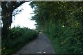
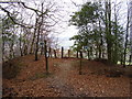
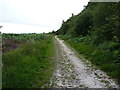
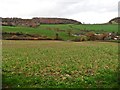
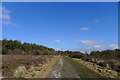


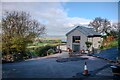


33 photos from this area
Area Information
Key information about the EX10 0LR including its size, population, and administrative classification.
- Area Type
- Postcode
- Area Size
- 2.0 km²
- Population
- 1734
- Population Density
- 121 people/km²
House Prices in EX10 0LR
6
Properties
£576,250
Average Sold Price
£485,000
Lowest Price
£650,000
Highest Price
Showing 6 properties
| Address | Type | Beds | Baths | Last Sale Price | Last Sale Date | |
|---|---|---|---|---|---|---|
| Rose Cottage, Road From Black Lake Cross To Fire Beacon Lane, East Hill, Sidmouth, EX10 0LR | Detached | 3 | 1 | £485,000 | Jun 2025 | |
| Sunset Cottage, Road From Black Lake Cross To Fire Beacon Lane, East Hill, Sidmouth, EX10 0LR | house | - | - | £590,000 | Aug 2020 | |
| Fire Beacon Cottage, Road From Fire Beacon Lane To Hollow Head Cross, East Hill, Sidmouth, EX10 0LR | Land | - | - | £650,000 | Jul 2018 | |
| Badgers Rest, Lane Past Badgers Rest, East Hill, Sidmouth, EX10 0LR | Bungalow | 3 | 1 | £580,000 | Sep 2017 | |
| Annexe, Sunset Cottage, Road From Black Lake Cross To Fire Beacon Lane, East Hill, Sidmouth, EX10 0LR | Flat | - | - | - | - | |
| Annexe, Badgers Rest, Lane Past Badgers Rest, East Hill, Sidmouth, EX10 0LR | Bungalow | - | - | - | - |
Energy Efficiency in EX10 0LR
Amenities
Schools
| Rank | School | Type | Entry gender | Ages |
|---|
Explore more schools in this area
Go to Schools tabDemographics
Household Size
Two person
most common
Accommodation Type
Houses
most common
Tenure
91
majority
Ethnic Group
White
most common
Religion
N/A
most common
Household Composition
N/A
most common
Age
47
median
Adults (30-64 years)
most common
Household Deprivation
N/A
with no deprivation
NS-SEC
46
in Lower managerial occupations
Explore more demographic insights in this area
Go to Demographics tabPlanning
Planning Constraints
- Flood RiskPremium
- Ramsar Wetland SitesPremium
- Area of Outstanding Natural BeautyPremium
- Protected Nature ReservePremium
- Protected WoodlandPremium