Area Overview for EX1 3QL
Photos of EX1 3QL
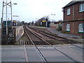
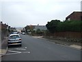

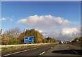
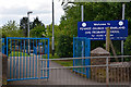
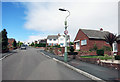
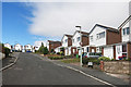
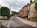
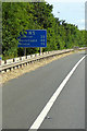
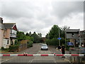

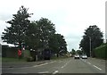
82 photos from this area
Area Information
Key information about the EX1 3QL including its size, population, and administrative classification.
- Area Type
- Postcode
- Area Size
- 1.0 hectares
- Population
- 2403
- Population Density
- 3301 people/km²
House Prices in EX1 3QL
20
Properties
£313,833
Average Sold Price
£94,000
Lowest Price
£470,000
Highest Price
Showing 20 properties
| Address | Type | Beds | Baths | Last Sale Price | Last Sale Date | |
|---|---|---|---|---|---|---|
| 4 Rews Park Drive, Exeter, EX1 3QL | Detached | 4 | 2 | £450,000 | Mar 2025 | |
| 8 Rews Park Drive, Exeter, EX1 3QL | Detached | 4 | 2 | £375,000 | Feb 2024 | |
| 2 Rews Park Drive, Exeter, EX1 3QL | Detached | 4 | 1 | £406,000 | Mar 2023 | |
| 11 Rews Park Drive, Exeter, EX1 3QL | Retail | 4 | 1 | £440,000 | Oct 2022 | |
| 1 Rews Park Drive, Exeter, EX1 3QL | Retail | 6 | 3 | £470,000 | Apr 2022 | |
| 7 Rews Park Drive, Exeter, EX1 3QL | Detached | - | - | £395,000 | Sep 2021 | |
| 10 Rews Park Drive, Exeter, EX1 3QL | house | - | - | £355,000 | Aug 2021 | |
| 3 Rews Park Drive, Exeter, EX1 3QL | Detached | 4 | 2 | £362,500 | May 2020 | |
| 20 Rews Park Drive, Exeter, EX1 3QL | Detached | 4 | - | £300,000 | Jul 2015 | |
| 9 Rews Park Drive, Exeter, EX1 3QL | Detached | 4 | - | £300,000 | Mar 2014 |
Page 1 of 2
Energy Efficiency in EX1 3QL
Amenities
Schools
| Rank | School | Type | Entry gender | Ages |
|---|
Explore more schools in this area
Go to Schools tabDemographics
Household Size
Two person
most common
Accommodation Type
Houses
most common
Tenure
77
majority
Ethnic Group
White
most common
Religion
N/A
most common
Household Composition
N/A
most common
Age
47
median
Adults (30-64 years)
most common
Household Deprivation
N/A
with no deprivation
NS-SEC
42
in Lower managerial occupations
Explore more demographic insights in this area
Go to Demographics tabPlanning
Planning Constraints
- Flood RiskPremium
- Ramsar Wetland SitesPremium
- Area of Outstanding Natural BeautyPremium
- Protected Nature ReservePremium
- Protected WoodlandPremium