Area Overview for DT9 4DZ
Photos of DT9 4DZ
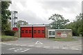
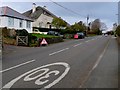
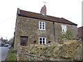
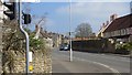
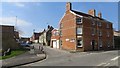
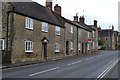
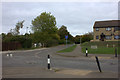
42 photos from this area
Area Information
Key information about the DT9 4DZ including its size, population, and administrative classification.
- Area Type
- Postcode
- Area Size
- 1.3 hectares
- Population
- 1454
- Population Density
- 2085 people/km²
House Prices in DT9 4DZ
26
Properties
£160,571
Average Sold Price
£105,000
Lowest Price
£310,000
Highest Price
Showing 26 properties
| Address | Type | Beds | Baths | Last Sale Price | Last Sale Date | |
|---|---|---|---|---|---|---|
| 36 Mccreery Road, Sherborne, DT9 4DZ | Semi-detached | 3 | 1 | £310,000 | Aug 2023 | |
| 74 Mccreery Road, Sherborne, DT9 4DZ | Flat | - | - | £145,000 | Jan 2023 | |
| 62 Mccreery Road, Sherborne, DT9 4DZ | Flat | 2 | 1 | £122,000 | Sep 2017 | |
| 32 Mccreery Road, Sherborne, DT9 4DZ | Semi-detached | - | - | £148,000 | Nov 2008 | |
| 42 Mccreery Road, Sherborne, DT9 4DZ | Semi-detached | - | - | £164,000 | Sep 2005 | |
| 60 Mccreery Road, Sherborne, DT9 4DZ | Land | - | - | £130,000 | Sep 2004 | |
| 52 Mccreery Road, Sherborne, DT9 4DZ | Semi-detached | - | - | £105,000 | Nov 2001 | |
| 50 Mccreery Road, Sherborne, DT9 4DZ | Semi-detached | 3 | 1 | - | - | |
| 56 Mccreery Road, Sherborne, DT9 4DZ | Semi-detached | 3 | - | - | - | |
| Annexe, 56 Mccreery Road, Sherborne, DT9 4DZ | house | - | - | - | - |
Page 1 of 3
Energy Efficiency in DT9 4DZ
Amenities
Schools
| Rank | School | Type | Entry gender | Ages |
|---|
Explore more schools in this area
Go to Schools tabDemographics
Household Size
One person
most common
Accommodation Type
Houses
most common
Tenure
55
majority
Ethnic Group
White
most common
Religion
N/A
most common
Household Composition
N/A
most common
Age
47
median
Adults (30-64 years)
most common
Household Deprivation
N/A
with no deprivation
NS-SEC
23
in Lower managerial occupations
Explore more demographic insights in this area
Go to Demographics tabPlanning
Planning Constraints
- Flood RiskPremium
- Ramsar Wetland SitesPremium
- Area of Outstanding Natural BeautyPremium
- Protected Nature ReservePremium
- Protected WoodlandPremium