Area Overview for DT9 4AJ
Photos of DT9 4AJ
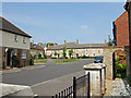
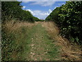
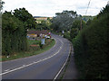
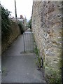
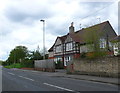
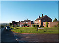
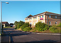
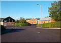
21 photos from this area
Area Information
Key information about the DT9 4AJ including its size, population, and administrative classification.
- Area Type
- Postcode
- Area Size
- 1.6 hectares
- Population
- 1454
- Population Density
- 2085 people/km²
House Prices in DT9 4AJ
25
Properties
£153,450
Average Sold Price
£45,000
Lowest Price
£245,000
Highest Price
Showing 25 properties
| Address | Type | Beds | Baths | Last Sale Price | Last Sale Date | |
|---|---|---|---|---|---|---|
| 22 Harbour Way, Sherborne, DT9 4AJ | Terraced | 3 | 1 | £185,000 | Dec 2023 | |
| May Cottage, Harbour Way, Sherborne, DT9 4AJ | Semi-detached | 3 | 1 | £242,000 | Sep 2022 | |
| 3 Harbour Way, Sherborne, DT9 4AJ | Terraced | 2 | 1 | £199,950 | Jun 2020 | |
| Rose Cottage, Harbour Way, Sherborne, DT9 4AJ | Semi-detached | 3 | 2 | £245,000 | Apr 2019 | |
| 7 Harbour Way, Sherborne, DT9 4AJ | Terraced | 2 | 1 | £175,000 | Sep 2018 | |
| 6 Harbour Way, Sherborne, DT9 4AJ | house | - | - | £180,500 | Jun 2017 | |
| 26 Harbour Way, Sherborne, DT9 4AJ | house | 3 | - | £150,000 | Mar 2012 | |
| 2 Harbour Way, Sherborne, DT9 4AJ | Terraced | 2 | 1 | £130,000 | Dec 2011 | |
| 11 Harbour Way, Sherborne, DT9 4AJ | house | 3 | - | £151,950 | Apr 2011 | |
| 20 Harbour Way, Sherborne, DT9 4AJ | house | - | - | £60,000 | Oct 2003 |
Page 1 of 3
Energy Efficiency in DT9 4AJ
Amenities
Schools
| Rank | School | Type | Entry gender | Ages |
|---|
Explore more schools in this area
Go to Schools tabDemographics
Household Size
One person
most common
Accommodation Type
Houses
most common
Tenure
55
majority
Ethnic Group
White
most common
Religion
N/A
most common
Household Composition
N/A
most common
Age
47
median
Adults (30-64 years)
most common
Household Deprivation
N/A
with no deprivation
NS-SEC
23
in Lower managerial occupations
Explore more demographic insights in this area
Go to Demographics tabPlanning
Planning Constraints
- Flood RiskPremium
- Ramsar Wetland SitesPremium
- Area of Outstanding Natural BeautyPremium
- Protected Nature ReservePremium
- Protected WoodlandPremium