Area Overview for DT9 4AB
Photos of DT9 4AB
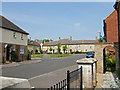
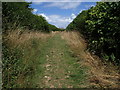
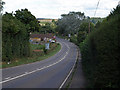
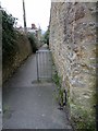
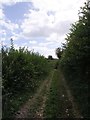
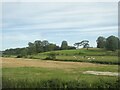
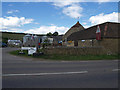
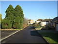
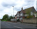
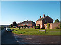
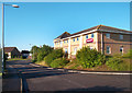
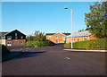
21 photos from this area
Area Information
Key information about the DT9 4AB including its size, population, and administrative classification.
- Area Type
- Postcode
- Area Size
- 5586 m²
- Population
- 1454
- Population Density
- 2085 people/km²
House Prices in DT9 4AB
14
Properties
£350,929
Average Sold Price
£217,500
Lowest Price
£420,000
Highest Price
Showing 14 properties
| Address | Type | Beds | Baths | Last Sale Price | Last Sale Date | |
|---|---|---|---|---|---|---|
| St Stephens, Coldharbour, Sherborne, DT9 4AB | house | 5 | 1 | £387,500 | Mar 2025 | |
| Lerryn, Coldharbour, Sherborne, DT9 4AB | house | - | - | £410,000 | Apr 2022 | |
| Studholme, Coldharbour, Sherborne, DT9 4AB | house | - | - | £420,000 | Sep 2020 | |
| Laurel House, Coldharbour, Sherborne, DT9 4AB | house | 4 | - | £368,000 | Dec 2013 | |
| Elm Tree House, Coldharbour, Sherborne, DT9 4AB | Semi-detached | 3 | - | £217,500 | Jul 2013 | |
| Springfield, Coldharbour, Sherborne, DT9 4AB | Semi-detached | - | - | £283,500 | Aug 2006 | |
| Castle View House, Coldharbour, Sherborne, DT9 4AB | Semi-detached | - | - | £370,000 | Jun 2003 | |
| Sandings House, Coldharbour, Sherborne, DT9 4AB | Detached | 4 | - | - | - | |
| Morwenna, Coldharbour, Sherborne, DT9 4AB | Semi-detached | - | - | - | - | |
| Carisbrooke, Coldharbour, Sherborne, DT9 4AB | Semi-detached | - | - | - | - |
Page 1 of 2
Energy Efficiency in DT9 4AB
Amenities
Schools
| Rank | School | Type | Entry gender | Ages |
|---|
Explore more schools in this area
Go to Schools tabDemographics
Household Size
One person
most common
Accommodation Type
Houses
most common
Tenure
55
majority
Ethnic Group
White
most common
Religion
N/A
most common
Household Composition
N/A
most common
Age
47
median
Adults (30-64 years)
most common
Household Deprivation
N/A
with no deprivation
NS-SEC
23
in Lower managerial occupations
Explore more demographic insights in this area
Go to Demographics tabPlanning
Planning Constraints
- Flood RiskPremium
- Ramsar Wetland SitesPremium
- Area of Outstanding Natural BeautyPremium
- Protected Nature ReservePremium
- Protected WoodlandPremium