Area Overview for DT8 3PP
Photos of DT8 3PP
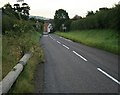
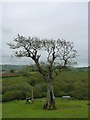
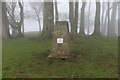
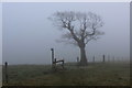
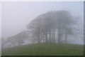
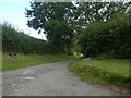
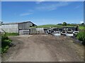
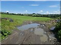
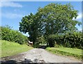
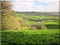
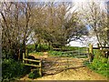
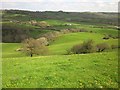
33 photos from this area
Area Information
Key information about the DT8 3PP including its size, population, and administrative classification.
- Area Type
- Postcode
- Area Size
- 29.6 hectares
- Population
- 1394
- Population Density
- 340 people/km²
House Prices in DT8 3PP
5
Properties
£128,875
Average Sold Price
£82,750
Lowest Price
£175,000
Highest Price
Showing 5 properties
| Address | Type | Beds | Baths | Last Sale Price | Last Sale Date | |
|---|---|---|---|---|---|---|
| Lower Barrowfield Farm, Broadwindsor Road, Beaminster, DT8 3PP | house | 4 | - | £175,000 | Jun 2009 | |
| Westbrook, Broadwindsor Road, Beaminster, DT8 3PP | Bungalow | - | - | £82,750 | Jul 1997 | |
| All Seasons House, Broadwindsor Road, Beaminster, DT8 3PP | Detached | - | - | - | - | |
| Flat 1, Bethany House, Broadwindsor Road, Beaminster, DT8 3PP | Flat | - | - | - | - | |
| Flat 2, Bethany House, Broadwindsor Road, Beaminster, DT8 3PP | Maisonette | - | - | - | - |
Energy Efficiency in DT8 3PP
Amenities
Schools
| Rank | School | Type | Entry gender | Ages |
|---|
Explore more schools in this area
Go to Schools tabDemographics
Household Size
Two person
most common
Accommodation Type
Houses
most common
Tenure
73
majority
Ethnic Group
White
most common
Religion
N/A
most common
Household Composition
N/A
most common
Age
47
median
Elderly (65+ years)
most common
Household Deprivation
N/A
with no deprivation
NS-SEC
34
in Lower managerial occupations
Explore more demographic insights in this area
Go to Demographics tabPlanning
Planning Constraints
- Flood RiskPremium
- Ramsar Wetland SitesPremium
- Area of Outstanding Natural BeautyPremium
- Protected Nature ReservePremium
- Protected WoodlandPremium