Area Overview for DT8 3NE
Photos of DT8 3NE
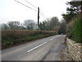
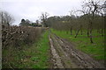
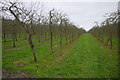
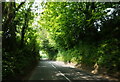
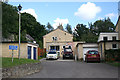
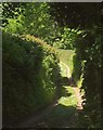
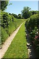
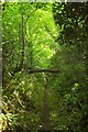
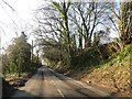
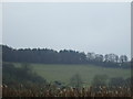
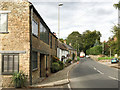
11 photos from this area
Area Information
Key information about the DT8 3NE including its size, population, and administrative classification.
- Area Type
- Postcode
- Area Size
- 1.0 km²
- Population
- 1265
- Population Density
- 40 people/km²
House Prices in DT8 3NE
20
Properties
£582,500
Average Sold Price
£50,000
Lowest Price
£1,185,000
Highest Price
Showing 20 properties
| Address | Type | Beds | Baths | Last Sale Price | Last Sale Date | |
|---|---|---|---|---|---|---|
| 16A Whitcombe Road, Beaminster, DT8 3NE | house | - | - | £375,000 | May 2023 | |
| 7 Whitcombe Road, Beaminster, DT8 3NE | house | - | - | £1,185,000 | Mar 2022 | |
| Cedar House, 24 Whitcombe Road, Beaminster, DT8 3NE | house | - | - | £1,175,000 | Nov 2021 | |
| 14 Whitcombe Road, Beaminster, DT8 3NE | Detached | - | - | £50,000 | Jan 2018 | |
| 12 Whitcombe Road, Beaminster, DT8 3NE | house | - | - | £650,000 | Dec 2017 | |
| 18 Whitcombe Road, Beaminster, DT8 3NE | Detached | - | - | £850,000 | Feb 2017 | |
| 20 Whitcombe Road, Beaminster, DT8 3NE | house | - | - | £1,180,000 | Feb 2017 | |
| Harts Orchard, Whitcombe Road, Beaminster, DT8 3NE | Detached | 6 | 6 | £700,000 | Oct 2016 | |
| 22 Whitcombe Road, Beaminster, DT8 3NE | Detached | 5 | - | £575,000 | Jun 2016 | |
| 10 Whitcombe Road, Beaminster, DT8 3NE | Detached | - | - | £315,000 | Aug 2013 |
Page 1 of 2
Energy Efficiency in DT8 3NE
Amenities
Schools
| Rank | School | Type | Entry gender | Ages |
|---|
Explore more schools in this area
Go to Schools tabDemographics
Household Size
Two person
most common
Accommodation Type
Houses
most common
Tenure
76
majority
Ethnic Group
White
most common
Religion
N/A
most common
Household Composition
N/A
most common
Age
47
median
Adults (30-64 years)
most common
Household Deprivation
N/A
with no deprivation
NS-SEC
36
in Lower managerial occupations
Explore more demographic insights in this area
Go to Demographics tabPlanning
Planning Constraints
- Flood RiskPremium
- Ramsar Wetland SitesPremium
- Area of Outstanding Natural BeautyPremium
- Protected Nature ReservePremium
- Protected WoodlandPremium