Area Overview for DT8 3LS
Photos of DT8 3LS
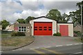
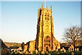
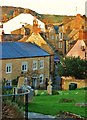
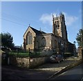
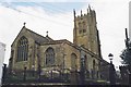
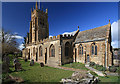
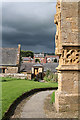
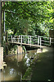
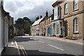
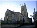
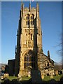
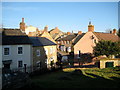
100 photos from this area
Area Information
Key information about the DT8 3LS including its size, population, and administrative classification.
- Area Type
- Postcode
- Area Size
- 6548 m²
- Population
- 1599
- Population Density
- 881 people/km²
House Prices in DT8 3LS
17
Properties
£391,400
Average Sold Price
£275,000
Lowest Price
£545,000
Highest Price
Showing 17 properties
| Address | Type | Beds | Baths | Last Sale Price | Last Sale Date | |
|---|---|---|---|---|---|---|
| 2 Barnes Lane, Beaminster, DT8 3LS | Bungalow | 3 | 2 | £480,000 | Oct 2025 | |
| 4 Barnes Lane, Beaminster, DT8 3LS | house | 4 | 3 | £545,000 | Nov 2023 | |
| Tanglewood, Barnes Lane, Beaminster, DT8 3LS | Detached | 3 | - | £352,000 | Dec 2016 | |
| 1 Barnes Lane, Beaminster, DT8 3LS | Detached | 3 | - | £305,000 | Aug 2013 | |
| 3 Barnes Lane, Beaminster, DT8 3LS | Bungalow | 3 | - | £275,000 | Dec 2011 | |
| 13 Barnes Lane, Beaminster, DT8 3LS | Terraced | 3 | 1 | - | - | |
| 15 Barnes Lane, Beaminster, DT8 3LS | Terraced | 3 | 1 | - | - | |
| 8 Barnes Lane, Beaminster, DT8 3LS | house | - | - | - | - | |
| 5 Barnes Lane, Beaminster, DT8 3LS | house | - | - | - | - | |
| 12 Barnes Lane, Beaminster, DT8 3LS | house | - | - | - | - |
Page 1 of 2
Energy Efficiency in DT8 3LS
Amenities
Schools
| Rank | School | Type | Entry gender | Ages |
|---|
Explore more schools in this area
Go to Schools tabDemographics
Household Size
Two person
most common
Accommodation Type
Houses
most common
Tenure
60
majority
Ethnic Group
White
most common
Religion
N/A
most common
Household Composition
N/A
most common
Age
47
median
Elderly (65+ years)
most common
Household Deprivation
N/A
with no deprivation
NS-SEC
33
in Lower managerial occupations
Explore more demographic insights in this area
Go to Demographics tabPlanning
Planning Constraints
- Flood RiskPremium
- Ramsar Wetland SitesPremium
- Area of Outstanding Natural BeautyPremium
- Protected Nature ReservePremium
- Protected WoodlandPremium