Area Overview for DT8 3ER
Photos of DT8 3ER
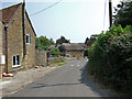
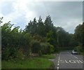
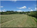
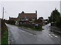
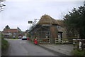
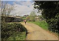
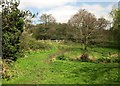
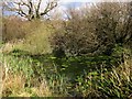
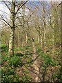
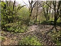
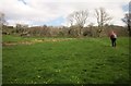
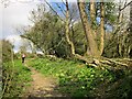
21 photos from this area
Area Information
Key information about the DT8 3ER including its size, population, and administrative classification.
- Area Type
- Postcode
- Area Size
- 8.3 hectares
- Population
- 1394
- Population Density
- 340 people/km²
House Prices in DT8 3ER
16
Properties
£540,000
Average Sold Price
£195,000
Lowest Price
£850,000
Highest Price
Showing 16 properties
| Address | Type | Beds | Baths | Last Sale Price | Last Sale Date | |
|---|---|---|---|---|---|---|
| 31 Chantry Lane, Beaminster, DT8 3ER | Detached | 4 | - | £750,000 | Nov 2024 | |
| 30A Chantry Lane, Beaminster, DT8 3ER | Detached | 4 | 2 | £850,000 | Jun 2023 | |
| 29 Chantry Lane, Beaminster, DT8 3ER | Bungalow | - | - | £565,000 | Mar 2021 | |
| Whiteladies, 30 Chantry Lane, Beaminster, DT8 3ER | house | 4 | - | £500,000 | Dec 2020 | |
| 33 Chantry Lane, Beaminster, DT8 3ER | Bungalow | 3 | - | £380,000 | Jun 2011 | |
| Newtown House, 27 Chantry Lane, Beaminster, DT8 3ER | Detached | - | - | £195,000 | Apr 1998 | |
| 49 Chantry Lane, Beaminster, DT8 3ER | Detached | 4 | 2 | - | - | |
| 25A Chantry Lane, Beaminster, DT8 3ER | house | 3 | 2 | - | - | |
| 26 Chantry Lane, Beaminster, DT8 3ER | Detached | 4 | 2 | - | - | |
| 26A Chantry Lane, Beaminster, DT8 3ER | house | - | - | - | - |
Page 1 of 2
Energy Efficiency in DT8 3ER
Amenities
Schools
| Rank | School | Type | Entry gender | Ages |
|---|
Explore more schools in this area
Go to Schools tabDemographics
Household Size
Two person
most common
Accommodation Type
Houses
most common
Tenure
73
majority
Ethnic Group
White
most common
Religion
N/A
most common
Household Composition
N/A
most common
Age
47
median
Elderly (65+ years)
most common
Household Deprivation
N/A
with no deprivation
NS-SEC
34
in Lower managerial occupations
Explore more demographic insights in this area
Go to Demographics tabPlanning
Planning Constraints
- Flood RiskPremium
- Ramsar Wetland SitesPremium
- Area of Outstanding Natural BeautyPremium
- Protected Nature ReservePremium
- Protected WoodlandPremium