Area Overview for DT7 3TT
Photos of DT7 3TT
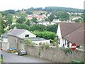
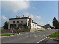
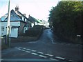
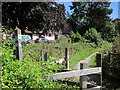
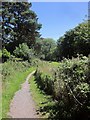
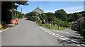
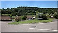

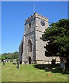
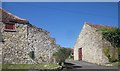

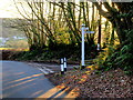
91 photos from this area
Area Information
Key information about the DT7 3TT including its size, population, and administrative classification.
- Area Type
- Postcode
- Area Size
- 8.1 hectares
- Population
- 2549
- Population Density
- 70 people/km²
House Prices in DT7 3TT
17
Properties
£390,500
Average Sold Price
£90,000
Lowest Price
£760,000
Highest Price
Showing 17 properties
| Address | Type | Beds | Baths | Last Sale Price | Last Sale Date | |
|---|---|---|---|---|---|---|
| Knapp House, Pound Lane, Uplyme, DT7 3TT | house | - | - | £700,000 | Dec 2023 | |
| Fingle, Pound Lane, Uplyme, DT7 3TT | house | - | - | £760,000 | Jul 2023 | |
| Applegarth, Pound Lane, Uplyme, DT7 3TT | house | - | - | £600,000 | Aug 2019 | |
| Sunnyside, Pound Lane, Uplyme, DT7 3TT | Detached | 4 | 2 | £270,000 | Aug 2019 | |
| The Langdales, Pound Lane, Uplyme, DT7 3TT | Bungalow | 2 | - | £285,000 | Feb 2015 | |
| None Go By, Pound Lane, Uplyme, DT7 3TT | Detached | 5 | - | £170,000 | Jul 2014 | |
| Woodhayes, Pound Lane, Uplyme, DT7 3TT | Detached | 4 | - | £425,000 | Jun 2013 | |
| Courtlands, Pound Lane, Uplyme, DT7 3TT | Bungalow | - | - | £380,000 | Aug 2011 | |
| The Chayce, Pound Lane, Uplyme, DT7 3TT | Bungalow | - | - | £250,000 | Apr 2008 | |
| The Firs, Pound Lane, Uplyme, DT7 3TT | house | - | - | £326,000 | Oct 2005 |
Page 1 of 2
Energy Efficiency in DT7 3TT
Amenities
Schools
| Rank | School | Type | Entry gender | Ages |
|---|
Explore more schools in this area
Go to Schools tabDemographics
Household Size
Two person
most common
Accommodation Type
Houses
most common
Tenure
82
majority
Ethnic Group
White
most common
Religion
N/A
most common
Household Composition
N/A
most common
Age
47
median
Adults (30-64 years)
most common
Household Deprivation
N/A
with no deprivation
NS-SEC
42
in Lower managerial occupations
Explore more demographic insights in this area
Go to Demographics tabPlanning
Planning Constraints
- Flood RiskPremium
- Ramsar Wetland SitesPremium
- Area of Outstanding Natural BeautyPremium
- Protected Nature ReservePremium
- Protected WoodlandPremium