Area Overview for DT7 3TP
Photos of DT7 3TP
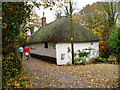
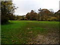
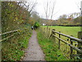
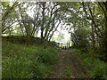
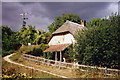


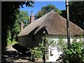
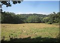
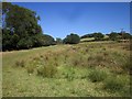
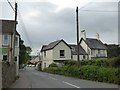
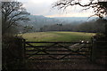
50 photos from this area
Area Information
Key information about the DT7 3TP including its size, population, and administrative classification.
- Area Type
- Postcode
- Area Size
- 3.6 hectares
- Population
- 1589
- Population Density
- 1009 people/km²
House Prices in DT7 3TP
2
Properties
£387,500
Average Sold Price
£140,000
Lowest Price
£635,000
Highest Price
Showing 2 properties
| Address | Type | Beds | Baths | Last Sale Price | Last Sale Date | |
|---|---|---|---|---|---|---|
| Mow Barton, Haye Lane, Uplyme, Lyme Regis, DT7 3TP | Bungalow | 4 | 2 | £635,000 | Dec 2018 | |
| Doron, Haye Lane, Uplyme, Lyme Regis, DT7 3TP | Bungalow | 2 | - | £140,000 | Dec 2006 |
Energy Efficiency in DT7 3TP
Amenities
Schools
| Rank | School | Type | Entry gender | Ages |
|---|
Explore more schools in this area
Go to Schools tabDemographics
Household Size
Two person
most common
Accommodation Type
Houses
most common
Tenure
82
majority
Ethnic Group
White
most common
Religion
N/A
most common
Household Composition
N/A
most common
Age
70
median
Elderly (65+ years)
most common
Household Deprivation
N/A
with no deprivation
NS-SEC
48
in Lower managerial occupations
Explore more demographic insights in this area
Go to Demographics tabPlanning
Planning Constraints
- Flood RiskPremium
- Ramsar Wetland SitesPremium
- Area of Outstanding Natural BeautyPremium
- Protected Nature ReservePremium
- Protected WoodlandPremium