Area Overview for DT7 3SU
Photos of DT7 3SU
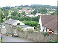
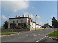
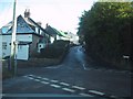
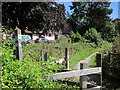
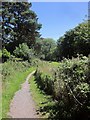
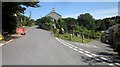
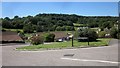
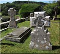
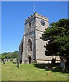
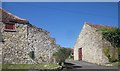
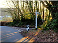
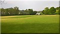
91 photos from this area
Area Information
Key information about the DT7 3SU including its size, population, and administrative classification.
- Area Type
- Postcode
- Area Size
- 6.5 hectares
- Population
- 2549
- Population Density
- 70 people/km²
House Prices in DT7 3SU
9
Properties
£431,333
Average Sold Price
£268,000
Lowest Price
£605,000
Highest Price
Showing 9 properties
| Address | Type | Beds | Baths | Last Sale Price | Last Sale Date | |
|---|---|---|---|---|---|---|
| Fernleigh, Wadley Hill, Uplyme, DT7 3SU | house | 3 | 1 | £417,500 | Jun 2025 | |
| Gemini, Wadley Hill, Uplyme, DT7 3SU | Detached | 3 | 2 | £429,500 | Oct 2017 | |
| Brookfield, Wadley Hill, Uplyme, DT7 3SU | Bungalow | 2 | - | £268,000 | Mar 2011 | |
| Coombehayes House, Wadley Hill, Uplyme, DT7 3SU | house | - | - | £605,000 | Sep 2009 | |
| Clifton Vine, Wadley Hill, Uplyme, DT7 3SU | Detached | - | - | £368,000 | Jul 2006 | |
| Coombehayes Farm, Wadley Hill, Uplyme, DT7 3SU | Detached | - | - | £500,000 | Feb 2002 | |
| Lower Coombe, Wadley Hill, Uplyme, DT7 3SU | farmhouse | 4 | 2 | - | - | |
| Lyndhurst, Wadley Hill, Uplyme, DT7 3SU | Semi-detached | - | - | - | - | |
| Wadley Hill Cottage, Wadley Hill, Uplyme, DT7 3SU | Detached | - | - | - | - |
Energy Efficiency in DT7 3SU
Amenities
Schools
| Rank | School | Type | Entry gender | Ages |
|---|
Explore more schools in this area
Go to Schools tabDemographics
Household Size
Two person
most common
Accommodation Type
Houses
most common
Tenure
82
majority
Ethnic Group
White
most common
Religion
N/A
most common
Household Composition
N/A
most common
Age
47
median
Adults (30-64 years)
most common
Household Deprivation
N/A
with no deprivation
NS-SEC
42
in Lower managerial occupations
Explore more demographic insights in this area
Go to Demographics tabPlanning
Planning Constraints
- Flood RiskPremium
- Ramsar Wetland SitesPremium
- Area of Outstanding Natural BeautyPremium
- Protected Nature ReservePremium
- Protected WoodlandPremium