Area Overview for DT5 2DG
Photos of DT5 2DG
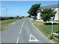
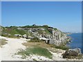
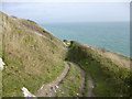
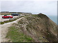
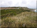
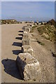
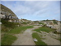
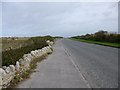
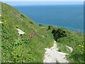
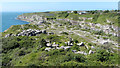
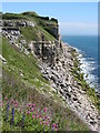
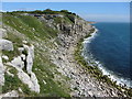
94 photos from this area
Area Information
Key information about the DT5 2DG including its size, population, and administrative classification.
- Area Type
- Postcode
- Area Size
- 22.0 hectares
- Population
- 2055
- Population Density
- 659 people/km²
House Prices in DT5 2DG
54
Properties
£212,324
Average Sold Price
£37,000
Lowest Price
£475,000
Highest Price
Showing 54 properties
| Address | Type | Beds | Baths | Last Sale Price | Last Sale Date | |
|---|---|---|---|---|---|---|
| 115 Weston Street, Portland, DT5 2DG | Terraced | 3 | 1 | £160,000 | Nov 2025 | |
| 113 Weston Street, Portland, DT5 2DG | Terraced | 3 | 1 | £240,000 | Nov 2024 | |
| 95 Weston Street, Portland, DT5 2DG | house | - | - | £152,000 | Oct 2024 | |
| 87 Weston Street, Portland, DT5 2DG | Terraced | 3 | 1 | £230,000 | Jul 2024 | |
| 165 Weston Street, Portland, DT5 2DG | Bungalow | 3 | 3 | £470,000 | Dec 2020 | |
| 159 Weston Street, Portland, DT5 2DG | Bungalow | 3 | 2 | £475,000 | Mar 2020 | |
| 167 Weston Street, Portland, DT5 2DG | Bungalow | 3 | 2 | £475,000 | Feb 2020 | |
| 155 Weston Street, Portland, DT5 2DG | Semi-detached | 3 | 2 | £400,000 | Oct 2019 | |
| 161 Weston Street, Portland, DT5 2DG | Semi-detached | 3 | - | £410,000 | Sep 2019 | |
| 91 Weston Street, Portland, DT5 2DG | Terraced | 2 | 1 | £188,000 | Dec 2018 |
Page 1 of 6
Energy Efficiency in DT5 2DG
Amenities
Schools
| Rank | School | Type | Entry gender | Ages |
|---|
Explore more schools in this area
Go to Schools tabDemographics
Household Size
Two person
most common
Accommodation Type
Houses
most common
Tenure
83
majority
Ethnic Group
White
most common
Religion
N/A
most common
Household Composition
N/A
most common
Age
47
median
Adults (30-64 years)
most common
Household Deprivation
N/A
with no deprivation
NS-SEC
30
in Lower managerial occupations
Explore more demographic insights in this area
Go to Demographics tabPlanning
Planning Constraints
- Flood RiskPremium
- Ramsar Wetland SitesPremium
- Area of Outstanding Natural BeautyPremium
- Protected Nature ReservePremium
- Protected WoodlandPremium