Area Overview for DT3 6NL
Photos of DT3 6NL
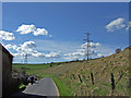
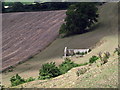
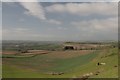
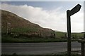
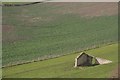
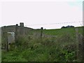
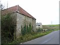

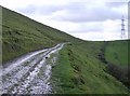
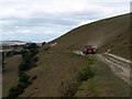
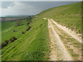
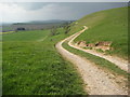
35 photos from this area
Area Information
Key information about the DT3 6NL including its size, population, and administrative classification.
- Area Type
- Postcode
- Area Size
- 1.5 km²
- Population
- 2109
- Population Density
- 40 people/km²
House Prices in DT3 6NL
48
Properties
£454,438
Average Sold Price
£99,000
Lowest Price
£930,000
Highest Price
Showing 48 properties
| Address | Type | Beds | Baths | Last Sale Price | Last Sale Date | |
|---|---|---|---|---|---|---|
| 49 Coombe Valley Road, Weymouth, DT3 6NL | Detached | 5 | 2 | £746,000 | Jan 2025 | |
| 59 Coombe Valley Road, Weymouth, DT3 6NL | Detached | 4 | 3 | £762,000 | Nov 2024 | |
| 38 Coombe Valley Road, Weymouth, DT3 6NL | Detached | 3 | 3 | £707,000 | Nov 2022 | |
| 58 Coombe Valley Road, Weymouth, DT3 6NL | Detached | 3 | 2 | £805,000 | May 2022 | |
| 36A Coombe Valley Road, Weymouth, DT3 6NL | house | - | - | £930,000 | Jan 2021 | |
| 65 Coombe Valley Road, Weymouth, DT3 6NL | house | - | - | £475,000 | Jul 2020 | |
| 32 Coombe Valley Road, Weymouth, DT3 6NL | Bungalow | 4 | 1 | £410,000 | Apr 2018 | |
| 40 Coombe Valley Road, Weymouth, DT3 6NL | Detached | 7 | - | £575,000 | Nov 2016 | |
| 40A Coombe Valley Road, Weymouth, DT3 6NL | Detached | 4 | 2 | £630,000 | Aug 2016 | |
| 51 Coombe Valley Road, Weymouth, DT3 6NL | Bungalow | 4 | - | £528,750 | Aug 2016 |
Page 1 of 5
Energy Efficiency in DT3 6NL
Amenities
Schools
| Rank | School | Type | Entry gender | Ages |
|---|
Explore more schools in this area
Go to Schools tabDemographics
Household Size
Two person
most common
Accommodation Type
Houses
most common
Tenure
71
majority
Ethnic Group
White
most common
Religion
N/A
most common
Household Composition
N/A
most common
Age
47
median
Adults (30-64 years)
most common
Household Deprivation
N/A
with no deprivation
NS-SEC
37
in Lower managerial occupations
Explore more demographic insights in this area
Go to Demographics tabPlanning
Planning Constraints
- Flood RiskPremium
- Ramsar Wetland SitesPremium
- Area of Outstanding Natural BeautyPremium
- Protected Nature ReservePremium
- Protected WoodlandPremium