Area Overview for DT3 4HE
Photos of DT3 4HE
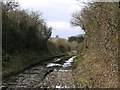
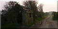
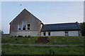
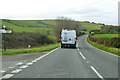
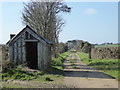
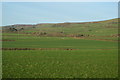
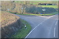
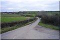
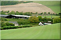
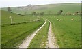
22 photos from this area
Area Information
Key information about the DT3 4HE including its size, population, and administrative classification.
- Area Type
- Postcode
- Area Size
- 1.5 km²
- Population
- 2084
- Population Density
- 27 people/km²
House Prices in DT3 4HE
17
Properties
£266,364
Average Sold Price
£60,000
Lowest Price
£595,000
Highest Price
Showing 17 properties
| Address | Type | Beds | Baths | Last Sale Price | Last Sale Date | |
|---|---|---|---|---|---|---|
| 8 Goose Hill, Portesham, DT3 4HE | Terraced | 2 | 1 | £295,000 | Jul 2025 | |
| 2A Goose Hill, Portesham, DT3 4HE | Cottage | 2 | 1 | £300,000 | Sep 2023 | |
| 6 Goose Hill, Portesham, DT3 4HE | Terraced | 2 | 1 | £185,000 | May 2018 | |
| 13 Goose Hill, Portesham, DT3 4HE | Detached | 5 | 3 | £595,000 | Jun 2016 | |
| 3 Goose Hill, Portesham, DT3 4HE | house | 3 | 1 | £290,000 | Mar 2014 | |
| 2 Goose Hill, Portesham, DT3 4HE | Terraced | 3 | - | £230,000 | Jan 2014 | |
| 13A Goose Hill, Portesham, DT3 4HE | Detached | - | - | £535,000 | Nov 2009 | |
| 7 Goose Hill, Portesham, DT3 4HE | Terraced | - | - | £130,000 | Jan 2009 | |
| 12 Goose Hill, Portesham, DT3 4HE | Detached | - | - | £250,000 | Sep 2007 | |
| 9 Goose Hill, Portesham, DT3 4HE | Terraced | - | - | £60,000 | Sep 1999 |
Page 1 of 2
Energy Efficiency in DT3 4HE
Amenities
Schools
| Rank | School | Type | Entry gender | Ages |
|---|
Explore more schools in this area
Go to Schools tabDemographics
Household Size
Two person
most common
Accommodation Type
Houses
most common
Tenure
70
majority
Ethnic Group
White
most common
Religion
N/A
most common
Household Composition
N/A
most common
Age
47
median
Adults (30-64 years)
most common
Household Deprivation
N/A
with no deprivation
NS-SEC
40
in Lower managerial occupations
Explore more demographic insights in this area
Go to Demographics tabPlanning
Planning Constraints
- Flood RiskPremium
- Ramsar Wetland SitesPremium
- Area of Outstanding Natural BeautyPremium
- Protected Nature ReservePremium
- Protected WoodlandPremium