Area Overview for DT3 4ED
Photos of DT3 4ED
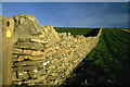
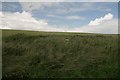
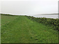
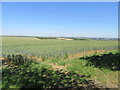
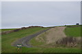
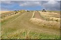
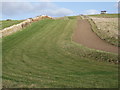
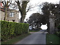
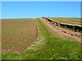
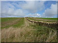
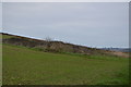
21 photos from this area
Area Information
Key information about the DT3 4ED including its size, population, and administrative classification.
- Area Type
- Postcode
- Area Size
- 2.6 km²
- Population
- 2084
- Population Density
- 27 people/km²
House Prices in DT3 4ED
18
Properties
£346,000
Average Sold Price
£285,000
Lowest Price
£407,000
Highest Price
Showing 18 properties
| Address | Type | Beds | Baths | Last Sale Price | Last Sale Date | |
|---|---|---|---|---|---|---|
| South Lodge, Fleet Road, Fleet, DT3 4ED | Detached | - | - | £407,000 | Feb 2006 | |
| North Lodge, Fleet Road, Fleet, DT3 4ED | Detached | - | - | £285,000 | Jul 1999 | |
| The Cedar, Fleet House Farm, Fleet Road, Fleet, DT3 4ED | Detached | 3 | 2 | - | - | |
| Caravan, Fleet House Farm, Fleet Road, Fleet, DT3 4ED | Mobile Home | - | - | - | - | |
| The Caravan, Sea Barn Farm, Sea Barn Farm Access Road, Fleet, DT3 4ED | Mobile Home | - | - | - | - | |
| The Lookout, Sea Barn Farm, Sea Barn Farm Access Road, Fleet, DT3 4ED | house | - | - | - | - | |
| Sea Barn Farm Camping Park, Sea Barn Farm, Sea Barn Farm Access Road, Fleet, DT3 4ED | commercial | - | - | - | - | |
| Tennis 51M From 2 Moonfleet Cottages, Fleet Road 26M From Unnamed Road, Fleet Road, Fleet, DT3 4ED | Leisure | - | - | - | - | |
| Barn West Of Goalen Caravan Site, Fleet Road, Fleet, DT3 4ED | Farm | - | - | - | - | |
| 1, Moonfleet Cottages, Fleet Road, Fleet, DT3 4ED | house | - | - | - | - |
Page 1 of 2
Energy Efficiency in DT3 4ED
Amenities
Schools
| Rank | School | Type | Entry gender | Ages |
|---|
Explore more schools in this area
Go to Schools tabDemographics
Household Size
Two person
most common
Accommodation Type
Houses
most common
Tenure
70
majority
Ethnic Group
White
most common
Religion
N/A
most common
Household Composition
N/A
most common
Age
47
median
Adults (30-64 years)
most common
Household Deprivation
N/A
with no deprivation
NS-SEC
40
in Lower managerial occupations
Explore more demographic insights in this area
Go to Demographics tabPlanning
Planning Constraints
- Flood RiskPremium
- Ramsar Wetland SitesPremium
- Area of Outstanding Natural BeautyPremium
- Protected Nature ReservePremium
- Protected WoodlandPremium