Area Overview for DT2 9PY
Photos of DT2 9PY
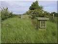
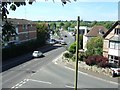
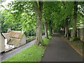
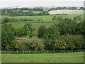
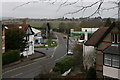
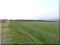
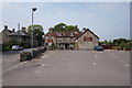
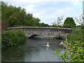
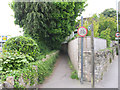
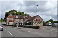
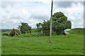
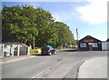
58 photos from this area
Area Information
Key information about the DT2 9PY including its size, population, and administrative classification.
- Area Type
- Postcode
- Area Size
- 7.7 hectares
- Population
- 2837
- Population Density
- 40 people/km²
House Prices in DT2 9PY
11
Properties
£399,667
Average Sold Price
£172,500
Lowest Price
£537,500
Highest Price
Showing 11 properties
| Address | Type | Beds | Baths | Last Sale Price | Last Sale Date | |
|---|---|---|---|---|---|---|
| 11 Charlotte Close, Charminster, DT2 9PY | Bungalow | 3 | 2 | £537,500 | Aug 2023 | |
| 4 Charlotte Close, Charminster, DT2 9PY | Bungalow | 4 | 2 | £520,000 | Oct 2020 | |
| 9 Charlotte Close, Charminster, DT2 9PY | Bungalow | - | - | £450,000 | Jun 2016 | |
| 7 Charlotte Close, Charminster, DT2 9PY | Bungalow | - | - | £425,000 | Oct 2009 | |
| 10 Charlotte Close, Charminster, DT2 9PY | Bungalow | 3 | 1 | £345,000 | Dec 2005 | |
| 3 Charlotte Close, Charminster, DT2 9PY | Detached | - | - | £380,000 | Oct 2005 | |
| 2 Charlotte Close, Charminster, DT2 9PY | Detached | - | - | £475,000 | Jul 2004 | |
| 5 Charlotte Close, Charminster, DT2 9PY | Detached | - | - | £292,000 | Apr 2002 | |
| 6 Charlotte Close, Charminster, DT2 9PY | Detached | - | - | £172,500 | Aug 1997 | |
| 8 Charlotte Close, Charminster, DT2 9PY | Detached | - | - | - | - |
Page 1 of 2
Energy Efficiency in DT2 9PY
Amenities
Schools
| Rank | School | Type | Entry gender | Ages |
|---|
Explore more schools in this area
Go to Schools tabDemographics
Household Size
Two person
most common
Accommodation Type
Houses
most common
Tenure
78
majority
Ethnic Group
White
most common
Religion
N/A
most common
Household Composition
N/A
most common
Age
47
median
Adults (30-64 years)
most common
Household Deprivation
N/A
with no deprivation
NS-SEC
43
in Lower managerial occupations
Explore more demographic insights in this area
Go to Demographics tabPlanning
Planning Constraints
- Flood RiskPremium
- Ramsar Wetland SitesPremium
- Area of Outstanding Natural BeautyPremium
- Protected Nature ReservePremium
- Protected WoodlandPremium