Area Overview for DT2 9ND
Photos of DT2 9ND
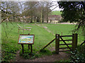
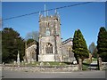
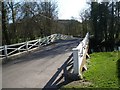
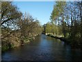
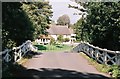
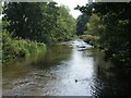
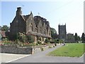
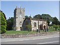
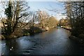
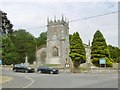
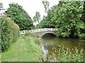
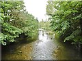
69 photos from this area
Area Information
Key information about the DT2 9ND including its size, population, and administrative classification.
- Area Type
- Postcode
- Area Size
- 3.3 hectares
- Population
- 2275
- Population Density
- 37 people/km²
House Prices in DT2 9ND
30
Properties
£225,864
Average Sold Price
£50,000
Lowest Price
£437,500
Highest Price
Showing 30 properties
| Address | Type | Beds | Baths | Last Sale Price | Last Sale Date | |
|---|---|---|---|---|---|---|
| 16A Dorchester Road, Frampton, DT2 9ND | Bungalow | 2 | 1 | £322,000 | Dec 2023 | |
| 15A Dorchester Road, Frampton, DT2 9ND | house | - | - | £260,000 | Dec 2022 | |
| 17 Dorchester Road, Frampton, DT2 9ND | Detached | 3 | 2 | £437,500 | Feb 2022 | |
| 28 Dorchester Road, Frampton, DT2 9ND | Semi-detached | 6 | 2 | £312,000 | Jul 2015 | |
| 19A Dorchester Road, Frampton, DT2 9ND | Terraced | 2 | 1 | £180,000 | Jan 2014 | |
| 26 Dorchester Road, Frampton, DT2 9ND | Terraced | 2 | - | £242,000 | Oct 2013 | |
| 24 Dorchester Road, Frampton, DT2 9ND | house | - | - | £200,000 | May 2010 | |
| 20 Dorchester Road, Frampton, DT2 9ND | house | - | - | £235,000 | Mar 2010 | |
| 16 Dorchester Road, Frampton, DT2 9ND | house | - | - | £180,000 | Apr 2009 | |
| 19 Dorchester Road, Frampton, DT2 9ND | house | 2 | - | £66,000 | Aug 1996 |
Page 1 of 3
Energy Efficiency in DT2 9ND
Amenities
Schools
| Rank | School | Type | Entry gender | Ages |
|---|
Explore more schools in this area
Go to Schools tabDemographics
Household Size
Two person
most common
Accommodation Type
Houses
most common
Tenure
74
majority
Ethnic Group
White
most common
Religion
N/A
most common
Household Composition
N/A
most common
Age
47
median
Adults (30-64 years)
most common
Household Deprivation
N/A
with no deprivation
NS-SEC
41
in Lower managerial occupations
Explore more demographic insights in this area
Go to Demographics tabPlanning
Planning Constraints
- Flood RiskPremium
- Ramsar Wetland SitesPremium
- Area of Outstanding Natural BeautyPremium
- Protected Nature ReservePremium
- Protected WoodlandPremium