Area Overview for DT2 9EN
Photos of DT2 9EN
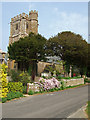
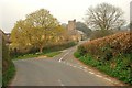
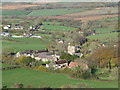
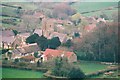
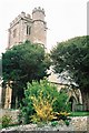
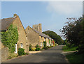
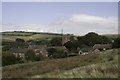
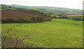
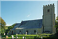
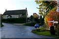
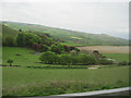
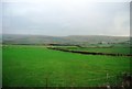
44 photos from this area
Area Information
Key information about the DT2 9EN including its size, population, and administrative classification.
- Area Type
- Postcode
- Area Size
- 41.6 hectares
- Population
- 1747
- Population Density
- 47 people/km²
House Prices in DT2 9EN
18
Properties
£445,714
Average Sold Price
£169,000
Lowest Price
£615,000
Highest Price
Showing 18 properties
| Address | Type | Beds | Baths | Last Sale Price | Last Sale Date | |
|---|---|---|---|---|---|---|
| Trevanion, Hembury Road, Askerswell, DT2 9EN | Bungalow | 3 | 1 | £555,000 | Aug 2023 | |
| Rocklea, Hembury Road, Askerswell, DT2 9EN | Detached | 4 | 2 | £615,000 | Mar 2019 | |
| Bowman Lodge, Hembury Road, Askerswell, DT2 9EN | Bungalow | 3 | 2 | £385,000 | Nov 2015 | |
| Sherwood Cottage, Hembury Road, Askerswell, DT2 9EN | Detached | 4 | - | £530,000 | Aug 2015 | |
| Stone Bridge, Hembury Road, Askerswell, DT2 9EN | Detached | - | - | £495,000 | Sep 2006 | |
| Hembury Mill, Hembury Road, Askerswell, DT2 9EN | Detached | 7 | 4 | £371,000 | Oct 2003 | |
| Hazelmead, Hembury Road, Askerswell, DT2 9EN | Detached | - | - | £169,000 | Nov 1996 | |
| 1, Knapp Cottages, Burrywells, Askerswell, DT2 9EN | house | 2 | - | - | - | |
| Flat, Rocklea, Hembury Road, Askerswell, DT2 9EN | Flat | - | - | - | - | |
| Barn Owl Cottage, West Hembury Farm, Hembury Road, Askerswell, DT2 9EN | house | - | - | - | - |
Page 1 of 2
Energy Efficiency in DT2 9EN
Amenities
Schools
| Rank | School | Type | Entry gender | Ages |
|---|
Explore more schools in this area
Go to Schools tabDemographics
Household Size
Two person
most common
Accommodation Type
Houses
most common
Tenure
74
majority
Ethnic Group
White
most common
Religion
N/A
most common
Household Composition
N/A
most common
Age
47
median
Adults (30-64 years)
most common
Household Deprivation
N/A
with no deprivation
NS-SEC
38
in Lower managerial occupations
Explore more demographic insights in this area
Go to Demographics tabPlanning
Planning Constraints
- Flood RiskPremium
- Ramsar Wetland SitesPremium
- Area of Outstanding Natural BeautyPremium
- Protected Nature ReservePremium
- Protected WoodlandPremium