Area Overview for DT2 9DN
Photos of DT2 9DN
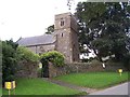
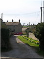
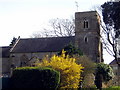
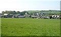
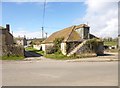
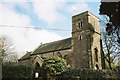
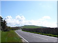
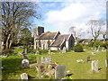

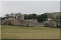
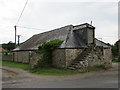
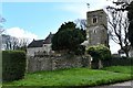
69 photos from this area
Area Information
Key information about the DT2 9DN including its size, population, and administrative classification.
- Area Type
- Postcode
- Area Size
- 36.2 hectares
- Population
- 1848
- Population Density
- 57 people/km²
House Prices in DT2 9DN
36
Properties
£605,000
Average Sold Price
£420,000
Lowest Price
£705,000
Highest Price
Showing 36 properties
| Address | Type | Beds | Baths | Last Sale Price | Last Sale Date | |
|---|---|---|---|---|---|---|
| Knoll View, Puncknowle Road, Swyre, DT2 9DN | Detached | 3 | 1 | £420,000 | Sep 2025 | |
| Swyre Gate, Puncknowle Road, Swyre, DT2 9DN | Detached | 4 | 2 | £690,000 | Jun 2021 | |
| Ferns Well House, Bull Lane, Swyre, DT2 9DN | Detached | - | - | £705,000 | Mar 2007 | |
| 1 Green Barton, Swyre, DT2 9DN | Terraced | 4 | 2 | - | - | |
| Swyre House, B 3157 Back Lane To Clay Lane, Swyre, DT2 9DN | Detached | 5 | 2 | - | - | |
| 2 Green Barton, Swyre, DT2 9DN | Semi-detached | 4 | 2 | - | - | |
| 12 Puncknowle Road, Swyre, DT2 9DN | Terraced | 2 | 1 | - | - | |
| 18 Puncknowle Road, Swyre, DT2 9DN | Terraced | 3 | 1 | - | - | |
| 11 Puncknowle Road, Swyre, DT2 9DN | Semi-detached | 3 | 1 | - | - | |
| The Old School, Puncknowle Road, Swyre, DT2 9DN | Semi-detached | 6 | - | - | - |
Page 1 of 4
Energy Efficiency in DT2 9DN
Amenities
Schools
| Rank | School | Type | Entry gender | Ages |
|---|
Explore more schools in this area
Go to Schools tabDemographics
Household Size
Two person
most common
Accommodation Type
Houses
most common
Tenure
77
majority
Ethnic Group
White
most common
Religion
N/A
most common
Household Composition
N/A
most common
Age
47
median
Elderly (65+ years)
most common
Household Deprivation
N/A
with no deprivation
NS-SEC
41
in Lower managerial occupations
Explore more demographic insights in this area
Go to Demographics tabPlanning
Planning Constraints
- Flood RiskPremium
- Ramsar Wetland SitesPremium
- Area of Outstanding Natural BeautyPremium
- Protected Nature ReservePremium
- Protected WoodlandPremium