Area Overview for DT2 8QL
Photos of DT2 8QL
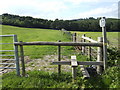
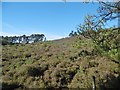
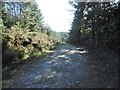

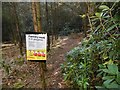
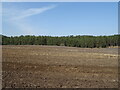
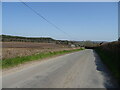
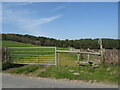


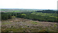
16 photos from this area
Area Information
Key information about the DT2 8QL including its size, population, and administrative classification.
- Area Type
- Postcode
- Area Size
- 3.5 km²
- Population
- 2582
- Population Density
- 42 people/km²
House Prices in DT2 8QL
18
Properties
£317,550
Average Sold Price
£147,500
Lowest Price
£890,000
Highest Price
Showing 18 properties
| Address | Type | Beds | Baths | Last Sale Price | Last Sale Date | |
|---|---|---|---|---|---|---|
| 8, Heath Cottages, Ilsington Road, Bockhampton, DT2 8QL | house | 2 | 1 | £320,000 | Jul 2025 | |
| Higher Norris Mill, Bockhampton Cross Bockhampton To Junction East Of Duck Dairy House, Bockhampton, DT2 8QL | house | - | - | £890,000 | Nov 2020 | |
| 10, Heath Cottages, Ilsington Road, Bockhampton, DT2 8QL | Terraced | 3 | 1 | £328,000 | Feb 2018 | |
| Lower Heath Cottage, Ilsington Road, Bockhampton, DT2 8QL | Detached | 5 | 4 | £355,000 | Nov 2012 | |
| 6, Heath Cottages, Ilsington Road, Bockhampton, DT2 8QL | Semi-detached | 3 | 1 | £275,000 | Dec 2011 | |
| 9, Heath Cottages, Ilsington Road, Bockhampton, DT2 8QL | house | 2 | - | £180,000 | Oct 2011 | |
| 4, Heath Cottages, Ilsington Road, Bockhampton, DT2 8QL | house | 3 | - | £230,000 | Sep 2011 | |
| 7, Heath Cottages, Ilsington Road, Bockhampton, DT2 8QL | house | - | - | £200,000 | Aug 2011 | |
| 3, Heath Cottages, Ilsington Road, Bockhampton, DT2 8QL | house | - | - | £250,000 | Jul 2011 | |
| 2, Heath Cottages, Ilsington Road, Bockhampton, DT2 8QL | house | - | - | £147,500 | Jul 2011 |
Page 1 of 2
Energy Efficiency in DT2 8QL
Amenities
Schools
| Rank | School | Type | Entry gender | Ages |
|---|
Explore more schools in this area
Go to Schools tabDemographics
Household Size
Two person
most common
Accommodation Type
Houses
most common
Tenure
73
majority
Ethnic Group
White
most common
Religion
N/A
most common
Household Composition
N/A
most common
Age
47
median
Adults (30-64 years)
most common
Household Deprivation
N/A
with no deprivation
NS-SEC
40
in Lower managerial occupations
Explore more demographic insights in this area
Go to Demographics tabPlanning
Planning Constraints
- Flood RiskPremium
- Ramsar Wetland SitesPremium
- Area of Outstanding Natural BeautyPremium
- Protected Nature ReservePremium
- Protected WoodlandPremium