Area Overview for DT2 7HP
Photos of DT2 7HP
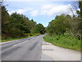
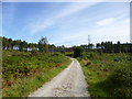
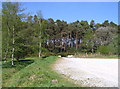
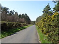
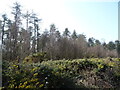
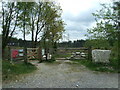
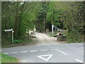
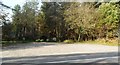
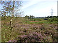
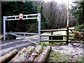
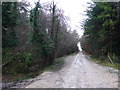
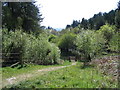
16 photos from this area
Area Information
Key information about the DT2 7HP including its size, population, and administrative classification.
- Area Type
- Postcode
- Area Size
- 52.2 hectares
- Population
- 1642
- Population Density
- 27 people/km²
House Prices in DT2 7HP
26
Properties
£320,877
Average Sold Price
£70,000
Lowest Price
£825,000
Highest Price
Showing 26 properties
| Address | Type | Beds | Baths | Last Sale Price | Last Sale Date | |
|---|---|---|---|---|---|---|
| The Old Post House, 2 Bladen Valley, Briantspuddle, DT2 7HP | Detached | 4 | 1 | £825,000 | Jul 2024 | |
| 26 Bladen Valley, Briantspuddle, DT2 7HP | Terraced | 3 | 1 | £270,026 | Sep 2023 | |
| 17 Bladen Valley, Briantspuddle, DT2 7HP | Semi-detached | - | - | £425,000 | Aug 2018 | |
| 23 Bladen Valley, Briantspuddle, DT2 7HP | Terraced | - | - | £365,000 | Aug 2018 | |
| 22 Bladen Valley, Briantspuddle, DT2 7HP | house | 3 | - | £475,000 | Jul 2018 | |
| 13 Bladen Valley, Briantspuddle, DT2 7HP | Semi-detached | - | - | £413,000 | Aug 2007 | |
| 15 Bladen Valley, Briantspuddle, DT2 7HP | Terraced | - | - | £185,000 | Dec 2005 | |
| 19 Bladen Valley, Briantspuddle, DT2 7HP | Terraced | - | - | £317,000 | Apr 2003 | |
| 12 Bladen Valley, Briantspuddle, DT2 7HP | Semi-detached | - | - | £205,000 | Oct 1999 | |
| 14 Bladen Valley, Briantspuddle, DT2 7HP | Terraced | - | - | £130,500 | Nov 1998 |
Page 1 of 3
Energy Efficiency in DT2 7HP
Amenities
Schools
| Rank | School | Type | Entry gender | Ages |
|---|
Explore more schools in this area
Go to Schools tabDemographics
Household Size
Two person
most common
Accommodation Type
Houses
most common
Tenure
68
majority
Ethnic Group
White
most common
Religion
N/A
most common
Household Composition
N/A
most common
Age
47
median
Adults (30-64 years)
most common
Household Deprivation
N/A
with no deprivation
NS-SEC
39
in Lower managerial occupations
Explore more demographic insights in this area
Go to Demographics tabPlanning
Planning Constraints
- Flood RiskPremium
- Ramsar Wetland SitesPremium
- Area of Outstanding Natural BeautyPremium
- Protected Nature ReservePremium
- Protected WoodlandPremium