Area Overview for DT11 9LB
Photos of DT11 9LB
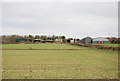
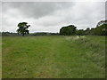
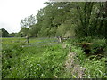
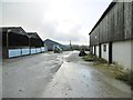
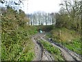
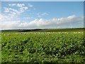

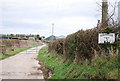
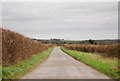
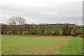
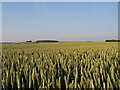
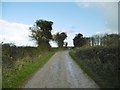
15 photos from this area
Area Information
Key information about the DT11 9LB including its size, population, and administrative classification.
- Area Type
- Postcode
- Area Size
- 1.0 km²
- Population
- 1259
- Population Density
- 27 people/km²
House Prices in DT11 9LB
17
Properties
£416,863
Average Sold Price
£142,950
Lowest Price
£754,500
Highest Price
Showing 17 properties
| Address | Type | Beds | Baths | Last Sale Price | Last Sale Date | |
|---|---|---|---|---|---|---|
| Todd Cottage, West Street, Shapwick, DT11 9LB | house | - | - | £285,000 | Dec 2011 | |
| The Old Orchard, West Street, Shapwick, DT11 9LB | Detached | - | - | £485,000 | Apr 2005 | |
| The River House, West Street, Shapwick, DT11 9LB | Detached | - | - | £754,500 | Dec 2004 | |
| Kates Cottage, West Street, Shapwick, DT11 9LB | Terraced | - | - | £142,950 | Jun 2000 | |
| Slate Cottage, West Street, Shapwick, DT11 9LB | Terraced | 2 | 1 | - | - | |
| Little Rams Island, West Street, Shapwick, DT11 9LB | Semi-detached | 4 | 2 | - | - | |
| Tennis 38M From Bishops Court Farm, West Street 62M From West Street, West Street, Shapwick, DT11 9LB | Leisure | - | - | - | - | |
| Bishop Court Farm, West Street, Shapwick, DT11 9LB | Detached | - | - | - | - | |
| 195 West Street, Shapwick, DT11 9LB | Detached | - | - | - | - | |
| 1, Bishops Court Cottages, West Street, Shapwick, DT11 9LB | Semi-detached | - | - | - | - |
Page 1 of 2
Energy Efficiency in DT11 9LB
Amenities
Schools
| Rank | School | Type | Entry gender | Ages |
|---|
Explore more schools in this area
Go to Schools tabDemographics
Household Size
Two person
most common
Accommodation Type
Houses
most common
Tenure
42
majority
Ethnic Group
White
most common
Religion
N/A
most common
Household Composition
N/A
most common
Age
47
median
Adults (30-64 years)
most common
Household Deprivation
N/A
with no deprivation
NS-SEC
34
in Lower managerial occupations
Explore more demographic insights in this area
Go to Demographics tabPlanning
Planning Constraints
- Flood RiskPremium
- Ramsar Wetland SitesPremium
- Area of Outstanding Natural BeautyPremium
- Protected Nature ReservePremium
- Protected WoodlandPremium