Area Overview for DT11 8EN
Photos of DT11 8EN
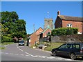
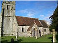
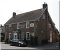
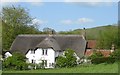
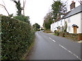
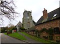
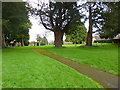
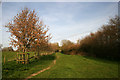
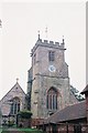
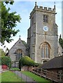
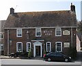
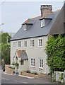
56 photos from this area
Area Information
Key information about the DT11 8EN including its size, population, and administrative classification.
- Area Type
- Postcode
- Area Size
- 3.2 hectares
- Population
- 1547
- Population Density
- 192 people/km²
House Prices in DT11 8EN
40
Properties
£304,440
Average Sold Price
£95,000
Lowest Price
£495,000
Highest Price
Showing 40 properties
| Address | Type | Beds | Baths | Last Sale Price | Last Sale Date | |
|---|---|---|---|---|---|---|
| 30 Homefield, Child Okeford, DT11 8EN | Bungalow | 3 | 2 | £355,000 | Dec 2025 | |
| 38 Homefield, Child Okeford, DT11 8EN | Bungalow | 3 | 2 | £430,000 | Jan 2025 | |
| 29 Homefield, Child Okeford, DT11 8EN | Bungalow | 3 | 2 | £465,000 | Jun 2024 | |
| 8 Homefield, Child Okeford, DT11 8EN | Bungalow | 4 | 1 | £420,000 | Nov 2023 | |
| 21 Homefield, Child Okeford, DT11 8EN | Bungalow | 3 | 1 | £495,000 | Nov 2023 | |
| 5 Homefield, Child Okeford, DT11 8EN | Bungalow | - | - | £466,000 | Jun 2021 | |
| 20 Homefield, Child Okeford, DT11 8EN | Bungalow | 3 | - | £485,000 | Mar 2021 | |
| 7 Homefield, Child Okeford, DT11 8EN | Bungalow | - | - | £325,000 | Jan 2021 | |
| 11 Homefield, Child Okeford, DT11 8EN | Bungalow | 3 | 2 | £395,000 | Oct 2019 | |
| 18 Homefield, Child Okeford, DT11 8EN | Bungalow | 3 | 1 | £310,000 | Jul 2019 |
Page 1 of 4
Energy Efficiency in DT11 8EN
Amenities
Schools
| Rank | School | Type | Entry gender | Ages |
|---|
Explore more schools in this area
Go to Schools tabDemographics
Household Size
Two person
most common
Accommodation Type
Houses
most common
Tenure
84
majority
Ethnic Group
White
most common
Religion
N/A
most common
Household Composition
N/A
most common
Age
47
median
Adults (30-64 years)
most common
Household Deprivation
N/A
with no deprivation
NS-SEC
41
in Lower managerial occupations
Explore more demographic insights in this area
Go to Demographics tabPlanning
Planning Constraints
- Flood RiskPremium
- Ramsar Wetland SitesPremium
- Area of Outstanding Natural BeautyPremium
- Protected Nature ReservePremium
- Protected WoodlandPremium