Area Overview for DT11 8BY
Photos of DT11 8BY
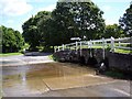
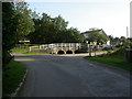
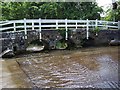
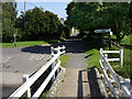
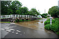
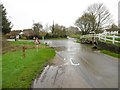
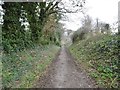
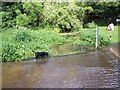
27 photos from this area
Area Information
Key information about the DT11 8BY including its size, population, and administrative classification.
- Area Type
- Postcode
- Area Size
- 2.8 km²
- Population
- 2642
- Population Density
- 68 people/km²
House Prices in DT11 8BY
35
Properties
£527,500
Average Sold Price
£250,000
Lowest Price
£835,000
Highest Price
Showing 35 properties
| Address | Type | Beds | Baths | Last Sale Price | Last Sale Date | |
|---|---|---|---|---|---|---|
| Sunnyside, Valley Road, Tarrant Launceston, DT11 8BY | Semi-detached | 3 | 1 | £293,000 | Jul 2023 | |
| West Wycke Cottage, Valley Road, Tarrant Launceston, DT11 8BY | Retail | 3 | 2 | £835,000 | Apr 2022 | |
| Ramblers, Valley Road, Tarrant Launceston, DT11 8BY | Detached | 5 | - | £732,000 | Aug 2010 | |
| Little Launceston, Valley Road, Tarrant Launceston, DT11 8BY | Semi-detached | 5 | 3 | £250,000 | May 2008 | |
| Comptons, Valley Road, Tarrant Launceston, DT11 8BY | Detached | 3 | 1 | - | - | |
| Lower Meadow House, Valley Road, Tarrant Launceston, DT11 8BY | Detached | 5 | 3 | - | - | |
| The Barn, Higher Dairy Farm, Higher Dairy To Valley Road Access Road, Tarrant Launceston, DT11 8BY | Bungalow | 4 | - | - | - | |
| Lilac Cottage, Valley Road, Tarrant Launceston, DT11 8BY | Detached | 4 | - | - | - | |
| Launceston Farm, Valley Road, Tarrant Launceston, DT11 8BY | Detached | - | - | - | - | |
| Higher Dairy Farmhouse, Higher Dairy To Valley Road Access Road, Tarrant Launceston, DT11 8BY | house | - | - | - | - |
Page 1 of 4
Energy Efficiency in DT11 8BY
Amenities
Schools
| Rank | School | Type | Entry gender | Ages |
|---|
Explore more schools in this area
Go to Schools tabDemographics
Household Size
Family (3-5 people)
most common
Accommodation Type
Houses
most common
Tenure
45
majority
Ethnic Group
White
most common
Religion
N/A
most common
Household Composition
N/A
most common
Age
47
median
Adults (30-64 years)
most common
Household Deprivation
N/A
with no deprivation
NS-SEC
37
in Lower managerial occupations
Explore more demographic insights in this area
Go to Demographics tabPlanning
Planning Constraints
- Flood RiskPremium
- Ramsar Wetland SitesPremium
- Area of Outstanding Natural BeautyPremium
- Protected Nature ReservePremium
- Protected WoodlandPremium