Area Overview for DT10 1LL
Photos of DT10 1LL
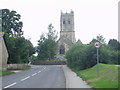
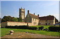
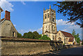
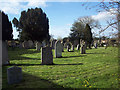
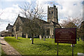
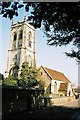
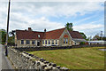
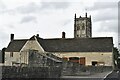
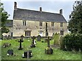
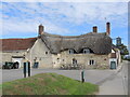
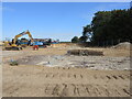
100 photos from this area
Area Information
Key information about the DT10 1LL including its size, population, and administrative classification.
- Area Type
- Postcode
- Area Size
- 1.6 hectares
- Population
- 2036
- Population Density
- 131 people/km²
House Prices in DT10 1LL
8
Properties
£259,271
Average Sold Price
£86,500
Lowest Price
£392,000
Highest Price
Showing 8 properties
| Address | Type | Beds | Baths | Last Sale Price | Last Sale Date | |
|---|---|---|---|---|---|---|
| 3 Barnes Close, Marnhull, DT10 1LL | Bungalow | - | - | £392,000 | Jun 2021 | |
| 6 Barnes Close, Marnhull, DT10 1LL | Chalet | 3 | 1 | £349,950 | Aug 2016 | |
| 2 Barnes Close, Marnhull, DT10 1LL | Bungalow | - | - | £311,000 | Jul 2015 | |
| 1 Barnes Close, Marnhull, DT10 1LL | Detached | - | - | £249,950 | Jul 2012 | |
| 5 Barnes Close, Marnhull, DT10 1LL | Bungalow | - | - | £190,000 | Jul 2012 | |
| 8 Barnes Close, Marnhull, DT10 1LL | Detached | 2 | 3 | £235,500 | Sep 2004 | |
| 4 Barnes Close, Marnhull, DT10 1LL | house | - | - | £86,500 | Nov 2001 | |
| 7 Barnes Close, Marnhull, DT10 1LL | house | - | - | - | - |
Energy Efficiency in DT10 1LL
Amenities
Schools
| Rank | School | Type | Entry gender | Ages |
|---|
Explore more schools in this area
Go to Schools tabDemographics
Household Size
Two person
most common
Accommodation Type
Houses
most common
Tenure
79
majority
Ethnic Group
White
most common
Religion
N/A
most common
Household Composition
N/A
most common
Age
47
median
Adults (30-64 years)
most common
Household Deprivation
N/A
with no deprivation
NS-SEC
38
in Lower managerial occupations
Explore more demographic insights in this area
Go to Demographics tabPlanning
Planning Constraints
- Flood RiskPremium
- Ramsar Wetland SitesPremium
- Area of Outstanding Natural BeautyPremium
- Protected Nature ReservePremium
- Protected WoodlandPremium