Area Overview for DT10 1AG
Photos of DT10 1AG
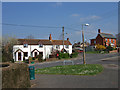
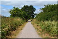
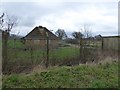
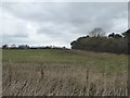
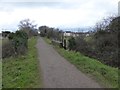
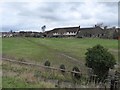
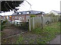
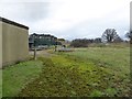
15 photos from this area
Area Information
Key information about the DT10 1AG including its size, population, and administrative classification.
- Area Type
- Postcode
- Area Size
- 60.2 hectares
- Population
- 1318
- Population Density
- 150 people/km²
House Prices in DT10 1AG
11
Properties
£482,250
Average Sold Price
£452,000
Lowest Price
£512,500
Highest Price
Showing 11 properties
| Address | Type | Beds | Baths | Last Sale Price | Last Sale Date | |
|---|---|---|---|---|---|---|
| Wesper Farm, Manston Road, Sturminster Newton, DT10 1AG | Land | 3 | 1 | £452,000 | Mar 2023 | |
| Glebelands, Manston Road, Sturminster Newton, DT10 1AG | Retail | 3 | 1 | £512,500 | May 2022 | |
| Tuscans, Manston Road, Sturminster Newton, DT10 1AG | Detached | 3 | 2 | - | - | |
| Mombiti, Manston Road, Sturminster Newton, DT10 1AG | Retail | 3 | 1 | - | - | |
| Hazeldene, Manston Road, Sturminster Newton, DT10 1AG | Detached | 3 | 1 | - | - | |
| Belle-monte, Manston Road, Sturminster Newton, DT10 1AG | Detached | 5 | 3 | - | - | |
| Hamwood, Manston Road, Sturminster Newton, DT10 1AG | Bungalow | 4 | - | - | - | |
| Boscobel, Manston Road, Sturminster Newton, DT10 1AG | Detached | - | - | - | - | |
| Dunroamin, Manston Road, Sturminster Newton, DT10 1AG | Bungalow | 2 | 1 | - | - | |
| Horsecastles, Hamwood, Manston Road, Sturminster Newton, DT10 1AG | Detached | - | - | - | - |
Page 1 of 2
Energy Efficiency in DT10 1AG
Amenities
Schools
| Rank | School | Type | Entry gender | Ages |
|---|
Explore more schools in this area
Go to Schools tabDemographics
Household Size
Family (3-5 people)
most common
Accommodation Type
Houses
most common
Tenure
63
majority
Ethnic Group
White
most common
Religion
N/A
most common
Household Composition
N/A
most common
Age
47
median
Adults (30-64 years)
most common
Household Deprivation
N/A
with no deprivation
NS-SEC
24
in Lower managerial occupations
Explore more demographic insights in this area
Go to Demographics tabPlanning
Planning Constraints
- Flood RiskPremium
- Ramsar Wetland SitesPremium
- Area of Outstanding Natural BeautyPremium
- Protected Nature ReservePremium
- Protected WoodlandPremium