Area Overview for BS9 4RH
Photos of BS9 4RH
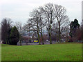
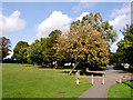
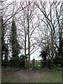
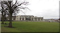
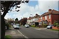
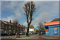
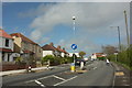
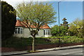
82 photos from this area
Area Information
Key information about the BS9 4RH including its size, population, and administrative classification.
- Area Type
- Postcode
- Area Size
- 1.2 hectares
- Population
- Not available
- Population Density
- Not available
House Prices in BS9 4RH
23
Properties
£587,031
Average Sold Price
£269,000
Lowest Price
£860,000
Highest Price
Showing 23 properties
| Address | Type | Beds | Baths | Last Sale Price | Last Sale Date | |
|---|---|---|---|---|---|---|
| 16 Hill Burn, Henleaze, Bristol, BS9 4RH | Detached | 3 | 2 | £720,000 | Nov 2025 | |
| 15 Hill Burn, Henleaze, Bristol, BS9 4RH | house | 3 | - | £655,000 | Dec 2024 | |
| 17 Hill Burn, Henleaze, Bristol, BS9 4RH | house | 3 | - | £688,500 | Sep 2021 | |
| 4 Hill Burn, Henleaze, Bristol, BS9 4RH | house | - | - | £800,000 | Feb 2021 | |
| 3 Hill Burn, Henleaze, Bristol, BS9 4RH | house | - | - | £700,000 | Jan 2021 | |
| 2 Hill Burn, Henleaze, Bristol, BS9 4RH | house | - | - | £860,000 | Sep 2020 | |
| 12 Hill Burn, Henleaze, Bristol, BS9 4RH | Semi-detached | 4 | 1 | £600,000 | Jul 2019 | |
| 22 Hill Burn, Henleaze, Bristol, BS9 4RH | Semi-detached | 4 | 1 | £650,000 | Mar 2019 | |
| 6 Hill Burn, Henleaze, Bristol, BS9 4RH | Detached | 4 | 2 | £830,000 | Oct 2018 | |
| 7 Hill Burn, Henleaze, Bristol, BS9 4RH | house | - | - | £675,000 | Dec 2015 |
Page 1 of 3
Energy Efficiency in BS9 4RH
Amenities
Schools
| Rank | School | Type | Entry gender | Ages |
|---|
Explore more schools in this area
Go to Schools tabDemographics
Household Size
Family (3-5 people)
most common
Accommodation Type
Houses
most common
Tenure
90
majority
Ethnic Group
White
most common
Religion
N/A
most common
Household Composition
N/A
most common
Age
47
median
Adults (30-64 years)
most common
Household Deprivation
N/A
with no deprivation
NS-SEC
59
in Lower managerial occupations
Explore more demographic insights in this area
Go to Demographics tabPlanning
Planning Constraints
- Flood RiskPremium
- Ramsar Wetland SitesPremium
- Area of Outstanding Natural BeautyPremium
- Protected Nature ReservePremium
- Protected WoodlandPremium