Area Overview for BS9 4QY
Photos of BS9 4QY
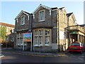
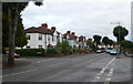
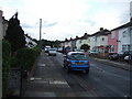
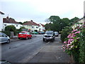
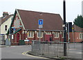
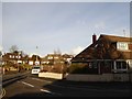
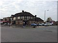
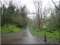
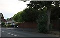
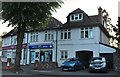
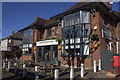
91 photos from this area
Area Information
Key information about the BS9 4QY including its size, population, and administrative classification.
- Area Type
- Postcode
- Area Size
- 4580 m²
- Population
- 1871
- Population Density
- 5073 people/km²
House Prices in BS9 4QY
8
Properties
£296,667
Average Sold Price
£160,000
Lowest Price
£490,000
Highest Price
Showing 8 properties
| Address | Type | Beds | Baths | Last Sale Price | Last Sale Date | |
|---|---|---|---|---|---|---|
| 118 Wellington Hill West, Henleaze, Bristol, BS9 4QY | Terraced | 3 | 2 | £490,000 | Sep 2022 | |
| 114 Wellington Hill West, Henleaze, Bristol, BS9 4QY | house | - | - | £240,000 | Mar 2012 | |
| 116 Wellington Hill West, Henleaze, Bristol, BS9 4QY | house | - | - | £160,000 | Apr 2002 | |
| 114A Wellington Hill West, Henleaze, Bristol, BS9 4QY | house | 3 | 1 | - | - | |
| 112B Wellington Hill West, Henleaze, Bristol, BS9 4QY | Semi-detached | 3 | - | - | - | |
| Flat Above, The Beehive, Wellington Hill West, Henleaze, Bristol, BS9 4QY | Flat | - | - | - | - | |
| The Beehive, Wellington Hill West, Henleaze, Bristol, BS9 4QY | restaurant_cafe | - | - | - | - | |
| 112A Wellington Hill West, Henleaze, Bristol, BS9 4QY | Semi-detached | - | - | - | - |
Energy Efficiency in BS9 4QY
Amenities
Schools
| Rank | School | Type | Entry gender | Ages |
|---|
Explore more schools in this area
Go to Schools tabDemographics
Household Size
Family (3-5 people)
most common
Accommodation Type
Houses
most common
Tenure
67
majority
Ethnic Group
White
most common
Religion
N/A
most common
Household Composition
N/A
most common
Age
47
median
Adults (30-64 years)
most common
Household Deprivation
N/A
with no deprivation
NS-SEC
45
in Lower managerial occupations
Explore more demographic insights in this area
Go to Demographics tabPlanning
Planning Constraints
- Flood RiskPremium
- Ramsar Wetland SitesPremium
- Area of Outstanding Natural BeautyPremium
- Protected Nature ReservePremium
- Protected WoodlandPremium