Area Overview for BS9 2RW
Photos of BS9 2RW
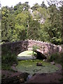
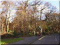
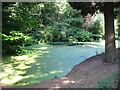
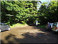
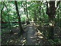
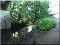
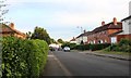
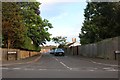
93 photos from this area
Area Information
Key information about the BS9 2RW including its size, population, and administrative classification.
- Area Type
- Postcode
- Area Size
- 9060 m²
- Population
- 1525
- Population Density
- 1877 people/km²
House Prices in BS9 2RW
20
Properties
£292,217
Average Sold Price
£102,000
Lowest Price
£630,000
Highest Price
Showing 20 properties
| Address | Type | Beds | Baths | Last Sale Price | Last Sale Date | |
|---|---|---|---|---|---|---|
| 16 Bowden Close, Coombe Dingle, Bristol, BS9 2RW | Detached | 3 | 2 | £545,000 | Oct 2025 | |
| 18 Bowden Close, Coombe Dingle, Bristol, BS9 2RW | Semi-detached | 3 | 1 | £432,000 | May 2024 | |
| 20 Bowden Close, Coombe Dingle, Bristol, BS9 2RW | house | 4 | 2 | £630,000 | Sep 2022 | |
| 10 Bowden Close, Coombe Dingle, Bristol, BS9 2RW | Semi-detached | 3 | 1 | £383,000 | Nov 2020 | |
| 15 Bowden Close, Coombe Dingle, Bristol, BS9 2RW | Semi-detached | 4 | - | £472,500 | Oct 2019 | |
| 7 Bowden Close, Coombe Dingle, Bristol, BS9 2RW | house | - | - | £280,000 | May 2013 | |
| 12 Bowden Close, Coombe Dingle, Bristol, BS9 2RW | Semi-detached | 3 | - | £287,475 | Nov 2011 | |
| 6 Bowden Close, Coombe Dingle, Bristol, BS9 2RW | house | - | - | £235,000 | Nov 2009 | |
| 4 Bowden Close, Coombe Dingle, Bristol, BS9 2RW | Terraced | - | - | £290,000 | Jan 2008 | |
| 1 Bowden Close, Coombe Dingle, Bristol, BS9 2RW | Terraced | - | - | £285,000 | Sep 2006 |
Page 1 of 2
Energy Efficiency in BS9 2RW
Amenities
Schools
| Rank | School | Type | Entry gender | Ages |
|---|
Explore more schools in this area
Go to Schools tabDemographics
Household Size
Two person
most common
Accommodation Type
Houses
most common
Tenure
69
majority
Ethnic Group
White
most common
Religion
N/A
most common
Household Composition
N/A
most common
Age
47
median
Adults (30-64 years)
most common
Household Deprivation
N/A
with no deprivation
NS-SEC
41
in Lower managerial occupations
Explore more demographic insights in this area
Go to Demographics tabPlanning
Planning Constraints
- Flood RiskPremium
- Ramsar Wetland SitesPremium
- Area of Outstanding Natural BeautyPremium
- Protected Nature ReservePremium
- Protected WoodlandPremium