Area Overview for BS9 1FE
Photos of BS9 1FE
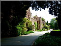
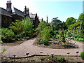
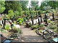
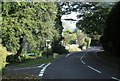
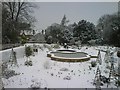
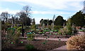
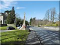
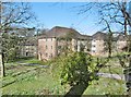
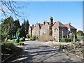
100 photos from this area
Area Information
Key information about the BS9 1FE including its size, population, and administrative classification.
- Area Type
- Postcode
- Area Size
- 4.0 hectares
- Population
- 3461
- Population Density
- 5682 people/km²
House Prices in BS9 1FE
5
Properties
£637,750
Average Sold Price
£600,500
Lowest Price
£675,000
Highest Price
Showing 5 properties
| Address | Type | Beds | Baths | Last Sale Price | Last Sale Date | |
|---|---|---|---|---|---|---|
| 15 Stoke Park Road, Stoke Bishop, Bristol, BS9 1FE | university_college | - | - | £675,000 | Sep 2013 | |
| Claverton House, Stoke Park Road, Stoke Bishop, Bristol, BS9 1FE | Detached | 4 | 3 | £600,500 | Apr 1999 | |
| 17 Stoke Park Road, Stoke Bishop, Bristol, BS9 1FE | house | - | - | - | - | |
| The Cottage, Claverton House, Stoke Park Road, Stoke Bishop, Bristol, BS9 1FE | Flat | - | - | - | - | |
| The Wardens House, Badock Hall, Stoke Park Road, Stoke Bishop, Bristol, BS9 1FE | Flat | - | - | - | - |
Energy Efficiency in BS9 1FE
Amenities
Schools
| Rank | School | Type | Entry gender | Ages |
|---|
Explore more schools in this area
Go to Schools tabDemographics
Household Size
Two person
most common
Accommodation Type
Houses
most common
Tenure
89
majority
Ethnic Group
White
most common
Religion
N/A
most common
Household Composition
N/A
most common
Age
22
median
Young Adults (15-29 years)
most common
Household Deprivation
N/A
with no deprivation
NS-SEC
21
in Lower managerial occupations
Explore more demographic insights in this area
Go to Demographics tabPlanning
Planning Constraints
- Flood RiskPremium
- Ramsar Wetland SitesPremium
- Area of Outstanding Natural BeautyPremium
- Protected Nature ReservePremium
- Protected WoodlandPremium