Area Overview for BS7 9SQ
Photos of BS7 9SQ


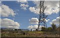
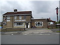
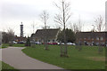
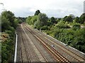
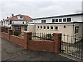
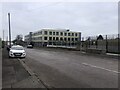
67 photos from this area
Area Information
Key information about the BS7 9SQ including its size, population, and administrative classification.
- Area Type
- Postcode
- Area Size
- 5.7 hectares
- Population
- 1722
- Population Density
- 4096 people/km²
House Prices in BS7 9SQ
34
Properties
£209,728
Average Sold Price
£63,000
Lowest Price
£414,995
Highest Price
Showing 34 properties
| Address | Type | Beds | Baths | Last Sale Price | Last Sale Date | |
|---|---|---|---|---|---|---|
| 70 Dovercourt Road, Horfield, Bristol, BS7 9SQ | house | - | - | £133,886 | Dec 2024 | |
| 92 Dovercourt Road, Horfield, Bristol, BS7 9SQ | house | - | - | £414,995 | Oct 2021 | |
| 96 Dovercourt Road, Horfield, Bristol, BS7 9SQ | Terraced | 3 | 1 | £273,000 | Oct 2019 | |
| 56 Dovercourt Road, Horfield, Bristol, BS7 9SQ | Terraced | 3 | 1 | £295,000 | Jun 2018 | |
| 100 Dovercourt Road, Horfield, Bristol, BS7 9SQ | Terraced | 3 | - | £345,000 | Oct 2017 | |
| 68 Dovercourt Road, Horfield, Bristol, BS7 9SQ | house | - | - | £345,000 | Mar 2017 | |
| 88 Dovercourt Road, Horfield, Bristol, BS7 9SQ | Terraced | 7 | 3 | £260,000 | Feb 2016 | |
| 54 Dovercourt Road, Horfield, Bristol, BS7 9SQ | Terraced | 3 | - | £235,000 | Nov 2014 | |
| 78 Dovercourt Road, Horfield, Bristol, BS7 9SQ | Terraced | 4 | 2 | £204,719 | Nov 2012 | |
| 106 Dovercourt Road, Horfield, Bristol, BS7 9SQ | Terraced | 4 | 2 | £182,500 | Feb 2012 |
Page 1 of 4
Energy Efficiency in BS7 9SQ
Amenities
Schools
| Rank | School | Type | Entry gender | Ages |
|---|
Explore more schools in this area
Go to Schools tabDemographics
Household Size
Family (3-5 people)
most common
Accommodation Type
Houses
most common
Tenure
60
majority
Ethnic Group
White
most common
Religion
N/A
most common
Household Composition
N/A
most common
Age
47
median
Adults (30-64 years)
most common
Household Deprivation
N/A
with no deprivation
NS-SEC
35
in Lower managerial occupations
Explore more demographic insights in this area
Go to Demographics tabPlanning
Planning Constraints
- Flood RiskPremium
- Ramsar Wetland SitesPremium
- Area of Outstanding Natural BeautyPremium
- Protected Nature ReservePremium
- Protected WoodlandPremium