Area Overview for BS7 8SZ
Photos of BS7 8SZ
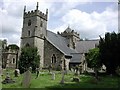
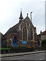
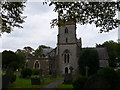
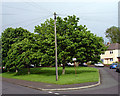
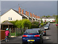
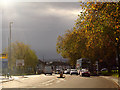
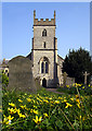
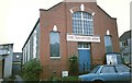
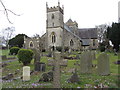
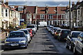
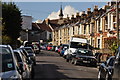
100 photos from this area
Area Information
Key information about the BS7 8SZ including its size, population, and administrative classification.
- Area Type
- Postcode
- Area Size
- 4000 m²
- Population
- 1645
- Population Density
- 9711 people/km²
House Prices in BS7 8SZ
19
Properties
£272,260
Average Sold Price
£73,500
Lowest Price
£501,000
Highest Price
Showing 19 properties
| Address | Type | Beds | Baths | Last Sale Price | Last Sale Date | |
|---|---|---|---|---|---|---|
| 19 Wellington Crescent, Horfield, Bristol, BS7 8SZ | Terraced | 4 | 2 | £375,000 | Aug 2025 | |
| 1 Wellington Crescent, Horfield, Bristol, BS7 8SZ | Terraced | 3 | 2 | £430,000 | Mar 2025 | |
| 8 Wellington Crescent, Horfield, Bristol, BS7 8SZ | Detached | 3 | 1 | £501,000 | Oct 2023 | |
| 7 Wellington Crescent, Horfield, Bristol, BS7 8SZ | house | - | - | £450,000 | Jun 2021 | |
| 2 Wellington Crescent, Horfield, Bristol, BS7 8SZ | Detached | 3 | 1 | £232,125 | Sep 2008 | |
| 10 Wellington Crescent, Horfield, Bristol, BS7 8SZ | Semi-detached | - | - | £249,999 | Aug 2008 | |
| 12 Wellington Crescent, Horfield, Bristol, BS7 8SZ | Semi-detached | - | - | £242,500 | Aug 2006 | |
| 11 Wellington Crescent, Horfield, Bristol, BS7 8SZ | Detached | 4 | 1 | £222,000 | Jul 2006 | |
| 9 Wellington Crescent, Horfield, Bristol, BS7 8SZ | Terraced | 3 | 2 | £206,000 | Feb 2006 | |
| 15 Wellington Crescent, Horfield, Bristol, BS7 8SZ | house | - | - | £195,000 | May 2005 |
Page 1 of 2
Energy Efficiency in BS7 8SZ
Amenities
Schools
| Rank | School | Type | Entry gender | Ages |
|---|
Explore more schools in this area
Go to Schools tabDemographics
Household Size
Family (3-5 people)
most common
Accommodation Type
Houses
most common
Tenure
63
majority
Ethnic Group
White
most common
Religion
N/A
most common
Household Composition
N/A
most common
Age
22
median
Young Adults (15-29 years)
most common
Household Deprivation
N/A
with no deprivation
NS-SEC
41
in Lower managerial occupations
Explore more demographic insights in this area
Go to Demographics tabPlanning
Planning Constraints
- Flood RiskPremium
- Ramsar Wetland SitesPremium
- Area of Outstanding Natural BeautyPremium
- Protected Nature ReservePremium
- Protected WoodlandPremium