Area Overview for BS7 8RR
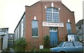
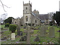
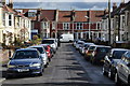
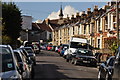
Photos of BS7 8RR
Area Information
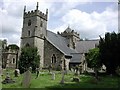
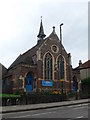
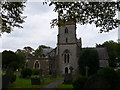
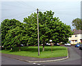
BS7 8RR is a small, compact postcode in the Horfield area of Bristol, part of the broader BS7 8 sector. This urban residential cluster covers 0.54 square miles (1.39 km²) and is home to around 11,109 residents in the BS7 8 postcode area, according to the 2021 Census. While BS7 8RR itself is no longer in active use, the surrounding area retains a distinct character shaped by its proximity to central Bristol. The postcode lies within the Bishopston and Ashley Down ward, a mix of established neighbourhoods and newer developments. Daily life here is influenced by nearby amenities such as Bishopston Library on Gloucester Road and schools like St Bonaventure’s Catholic Primary School and Bishop Road Primary School. The area also includes H M Prison on Cambridge Road, highlighting its varied land use. Living in BS7 8RR means being part of a densely populated urban environment with easy access to Bristol’s cultural and commercial hubs, though the small size of the postcode suggests a tightly knit, possibly transient community.
- Area Type
- Postcode
- Area Size
- Not available
- Population
- Not available
- Population Density
- Not available
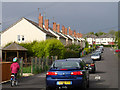
The property market in BS7 8RR is shaped by its status as a small, outdated postcode within a larger urban sector. While specific property data for BS7 8RR is not provided, the broader BS7 8 area likely features a mix of housing types, including terraced and semi-detached homes typical of Bristol’s inner-city areas. The proximity to central amenities may make this a sought-after location for buyers seeking urban convenience, though the small size of the postcode suggests limited inventory. Home ownership rates in such areas are often lower than in suburban zones, with rental properties and short-term lets more common due to Bristol’s dynamic housing market. Buyers should consider the area’s compact nature and its integration with nearby wards for a fuller picture of available options.
House Prices in BS7 8RR
No properties found in this postcode.
Energy Efficiency in BS7 8RR
Amenities
Schools
| Rank | School | Type | Entry gender | Ages |
|---|
Explore more schools in this area
Go to Schools tabDemographics
The BS7 8 postcode sector, which includes BS7 8RR, has a population of 11,109 residents according to the 2021 Census. Specific demographic data for BS7 8RR itself is not available in the provided information, but the broader area reflects typical urban characteristics. The area’s compact size and proximity to central Bristol suggest a mix of household types, though exact figures for age distribution, home ownership rates, or diversity are not included in the data. For context, urban postcodes in Bristol often have a higher proportion of rental properties and younger residents due to the city’s student population and job opportunities. However, without specific statistics for BS7 8RR, it is difficult to quantify these trends precisely. The presence of multiple schools and a library indicates a family-oriented environment, but further data would be needed to confirm this.
Household Size
Accommodation Type
Tenure
Ethnic Group
Religion
Household Composition
Age
Household Deprivation
NS-SEC
Explore more demographic insights in this area
Go to Demographics tabPlanning
Planning Constraints
- Flood RiskPremium
- Ramsar Wetland SitesPremium
- Area of Outstanding Natural BeautyPremium
- Protected Nature ReservePremium
- Protected WoodlandPremium