Area Overview for BS7 0SJ
Photos of BS7 0SJ
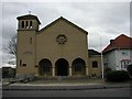
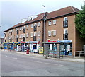
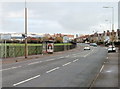
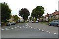
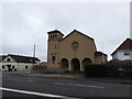
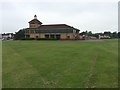
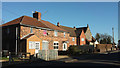
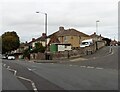
82 photos from this area
Area Information
Key information about the BS7 0SJ including its size, population, and administrative classification.
- Area Type
- Postcode
- Area Size
- 1.3 hectares
- Population
- Not available
- Population Density
- Not available
House Prices in BS7 0SJ
19
Properties
£279,222
Average Sold Price
£42,000
Lowest Price
£480,000
Highest Price
Showing 19 properties
| Address | Type | Beds | Baths | Last Sale Price | Last Sale Date | |
|---|---|---|---|---|---|---|
| 46 Gloucester Road North, Filton, BS7 0SJ | Detached | 1 | 1 | £350,000 | Sep 2021 | |
| 38 Gloucester Road North, Filton, BS7 0SJ | Detached | 6 | 4 | £480,000 | Feb 2020 | |
| 36 Gloucester Road North, Filton, BS7 0SJ | Bungalow | 1 | 4 | £286,000 | Oct 2015 | |
| 54 Gloucester Road North, Filton, BS7 0SJ | Bungalow | 3 | - | £270,000 | Feb 2015 | |
| 48 Gloucester Road North, Filton, BS7 0SJ | house | 3 | - | £222,500 | Jul 2012 | |
| 52 Gloucester Road North, Filton, BS7 0SJ | Bungalow | - | - | £205,000 | May 2011 | |
| Lombard, 44 Gloucester Road North, Filton, BS7 0SJ | Detached | - | - | £292,500 | Oct 2004 | |
| 40 Gloucester Road North, Filton, BS7 0SJ | Detached | 1 | - | £365,000 | Mar 2003 | |
| 42 Gloucester Road North, Filton, BS7 0SJ | Flat | - | - | £42,000 | May 1996 | |
| 54A Gloucester Road North, Filton, BS7 0SJ | Bungalow | 3 | 2 | - | - |
Page 1 of 2
Energy Efficiency in BS7 0SJ
Amenities
Schools
| Rank | School | Type | Entry gender | Ages |
|---|
Explore more schools in this area
Go to Schools tabDemographics
Household Size
Family (3-5 people)
most common
Accommodation Type
Houses
most common
Tenure
81
majority
Ethnic Group
White
most common
Religion
N/A
most common
Household Composition
N/A
most common
Age
47
median
Adults (30-64 years)
most common
Household Deprivation
N/A
with no deprivation
NS-SEC
46
in Lower managerial occupations
Explore more demographic insights in this area
Go to Demographics tabPlanning
Planning Constraints
- Flood RiskPremium
- Ramsar Wetland SitesPremium
- Area of Outstanding Natural BeautyPremium
- Protected Nature ReservePremium
- Protected WoodlandPremium