Area Overview for BS6 7DB
Photos of BS6 7DB
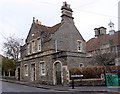
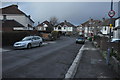
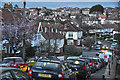
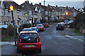
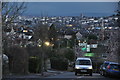
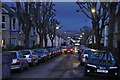
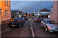

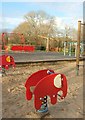
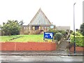
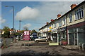
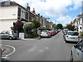
100 photos from this area
Area Information
Key information about the BS6 7DB including its size, population, and administrative classification.
- Area Type
- Postcode
- Area Size
- 5571 m²
- Population
- 1926
- Population Density
- 5688 people/km²
House Prices in BS6 7DB
23
Properties
£527,314
Average Sold Price
£116,000
Lowest Price
£875,000
Highest Price
Showing 23 properties
| Address | Type | Beds | Baths | Last Sale Price | Last Sale Date | |
|---|---|---|---|---|---|---|
| 102 Cranbrook Road, Redland, Bristol, BS6 7DB | Terraced | 6 | 3 | £856,076 | Nov 2023 | |
| 82 Cranbrook Road, Redland, Bristol, BS6 7DB | Terraced | 5 | 3 | £875,000 | Dec 2022 | |
| 112 Cranbrook Road, Redland, Bristol, BS6 7DB | house | - | - | £631,500 | Oct 2019 | |
| 80 Cranbrook Road, Redland, Bristol, BS6 7DB | house | 4 | 2 | £630,000 | Feb 2017 | |
| 92 Cranbrook Road, Redland, Bristol, BS6 7DB | Terraced | 5 | 2 | £590,000 | Nov 2016 | |
| 100 Cranbrook Road, Redland, Bristol, BS6 7DB | Semi-detached | 4 | - | £431,000 | Nov 2014 | |
| 106 Cranbrook Road, Redland, Bristol, BS6 7DB | Terraced | 4 | 2 | £393,380 | Sep 2013 | |
| 88 Cranbrook Road, Redland, Bristol, BS6 7DB | Terraced | 5 | 2 | £450,000 | Mar 2013 | |
| 98 Cranbrook Road, Redland, Bristol, BS6 7DB | house | 5 | 2 | £430,000 | Jan 2007 | |
| 86 Cranbrook Road, Redland, Bristol, BS6 7DB | Terraced | - | - | £397,500 | Aug 2006 |
Page 1 of 3
Energy Efficiency in BS6 7DB
Amenities
Schools
| Rank | School | Type | Entry gender | Ages |
|---|
Explore more schools in this area
Go to Schools tabDemographics
Household Size
Family (3-5 people)
most common
Accommodation Type
Houses
most common
Tenure
81
majority
Ethnic Group
White
most common
Religion
N/A
most common
Household Composition
N/A
most common
Age
47
median
Adults (30-64 years)
most common
Household Deprivation
N/A
with no deprivation
NS-SEC
58
in Lower managerial occupations
Explore more demographic insights in this area
Go to Demographics tabPlanning
Planning Constraints
- Flood RiskPremium
- Ramsar Wetland SitesPremium
- Area of Outstanding Natural BeautyPremium
- Protected Nature ReservePremium
- Protected WoodlandPremium