Area Overview for BS6 6QB
Photos of BS6 6QB
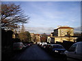
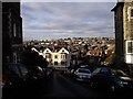
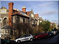
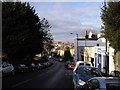
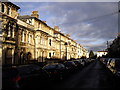
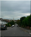
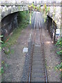
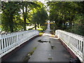
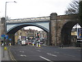
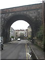
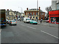
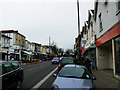
100 photos from this area
Area Information
Key information about the BS6 6QB including its size, population, and administrative classification.
- Area Type
- Postcode
- Area Size
- 6718 m²
- Population
- 1696
- Population Density
- 16876 people/km²
House Prices in BS6 6QB
52
Properties
£662,643
Average Sold Price
£185,000
Lowest Price
£950,000
Highest Price
Showing 52 properties
| Address | Type | Beds | Baths | Last Sale Price | Last Sale Date | |
|---|---|---|---|---|---|---|
| 29 Alexandra Park, Redland, Bristol, BS6 6QB | Semi-detached | 4 | 1 | £950,000 | Jan 2025 | |
| 31 Alexandra Park, Redland, Bristol, BS6 6QB | Semi-detached | 8 | 3 | £755,000 | Oct 2024 | |
| 33 Alexandra Park, Redland, Bristol, BS6 6QB | house | 4 | - | £918,000 | Nov 2022 | |
| 15 Alexandra Park, Redland, Bristol, BS6 6QB | house | - | - | £865,000 | Jun 2021 | |
| 11 Alexandra Park, Redland, Bristol, BS6 6QB | Terraced | 1 | 1 | £635,000 | Dec 2020 | |
| 13 Alexandra Park, Redland, Bristol, BS6 6QB | Semi-detached | 4 | - | £852,500 | Dec 2020 | |
| 5 Alexandra Park, Redland, Bristol, BS6 6QB | house | 6 | 2 | £625,000 | Dec 2020 | |
| 25 Alexandra Park, Redland, Bristol, BS6 6QB | Semi-detached | 5 | 2 | £935,000 | Sep 2020 | |
| 1 Alexandra Park, Redland, Bristol, BS6 6QB | Terraced | 4 | 2 | £546,500 | May 2016 | |
| 7 Alexandra Park, Redland, Bristol, BS6 6QB | house | 9 | 2 | £585,000 | Oct 2015 |
Page 1 of 6
Energy Efficiency in BS6 6QB
Amenities
Schools
| Rank | School | Type | Entry gender | Ages |
|---|
Explore more schools in this area
Go to Schools tabDemographics
Household Size
Two person
most common
Accommodation Type
Flats
most common
Tenure
40
majority
Ethnic Group
White
most common
Religion
N/A
most common
Household Composition
N/A
most common
Age
22
median
Young Adults (15-29 years)
most common
Household Deprivation
N/A
with no deprivation
NS-SEC
34
in Lower managerial occupations
Explore more demographic insights in this area
Go to Demographics tabPlanning
Planning Constraints
- Flood RiskPremium
- Ramsar Wetland SitesPremium
- Area of Outstanding Natural BeautyPremium
- Protected Nature ReservePremium
- Protected WoodlandPremium