Area Overview for BS6 6NQ
Photos of BS6 6NQ
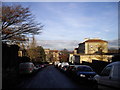
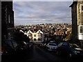
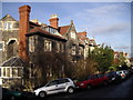
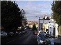
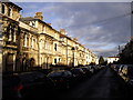
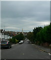
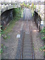
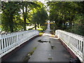
100 photos from this area
Area Information
Key information about the BS6 6NQ including its size, population, and administrative classification.
- Area Type
- Postcode
- Area Size
- 4968 m²
- Population
- Not available
- Population Density
- Not available
House Prices in BS6 6NQ
4
Properties
£364,238
Average Sold Price
£250,000
Lowest Price
£427,000
Highest Price
Showing 4 properties
| Address | Type | Beds | Baths | Last Sale Price | Last Sale Date | |
|---|---|---|---|---|---|---|
| 4A Kensington Road, Redland, Bristol, BS6 6NQ | Terraced | 2 | 1 | £427,000 | Jul 2022 | |
| 10 Kensington Road, Redland, Bristol, BS6 6NQ | Land | 3 | 1 | £380,000 | Apr 2022 | |
| 3 Kensington Road, Redland, Bristol, BS6 6NQ | Semi-detached | 2 | 1 | £399,950 | Mar 2021 | |
| 5 Kensington Road, Redland, Bristol, BS6 6NQ | Parking | - | - | £250,000 | May 2011 |
Energy Efficiency in BS6 6NQ
Amenities
Schools
| Rank | School | Type | Entry gender | Ages |
|---|
Explore more schools in this area
Go to Schools tabDemographics
Household Size
Two person
most common
Accommodation Type
Flats
most common
Tenure
46
majority
Ethnic Group
White
most common
Religion
N/A
most common
Household Composition
N/A
most common
Age
47
median
Young Adults (15-29 years)
most common
Household Deprivation
N/A
with no deprivation
NS-SEC
55
in Lower managerial occupations
Explore more demographic insights in this area
Go to Demographics tabPlanning
Planning Constraints
- Flood RiskPremium
- Ramsar Wetland SitesPremium
- Area of Outstanding Natural BeautyPremium
- Protected Nature ReservePremium
- Protected WoodlandPremium