Area Overview for BS5 9UQ
Photos of BS5 9UQ
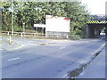
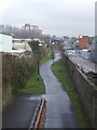
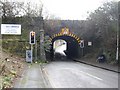
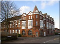

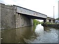
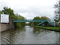

100 photos from this area
Area Information
Key information about the BS5 9UQ including its size, population, and administrative classification.
- Area Type
- Postcode
- Area Size
- 3525 m²
- Population
- Not available
- Population Density
- Not available
House Prices in BS5 9UQ
29
Properties
£177,741
Average Sold Price
£46,950
Lowest Price
£306,500
Highest Price
Showing 29 properties
| Address | Type | Beds | Baths | Last Sale Price | Last Sale Date | |
|---|---|---|---|---|---|---|
| 18 Goulter Street, St Philips, Bristol, BS5 9UQ | Terraced | 2 | 1 | £306,500 | Nov 2021 | |
| 24 Goulter Street, St Philips, Bristol, BS5 9UQ | Terraced | 2 | 2 | £273,500 | Sep 2021 | |
| 16 Goulter Street, St Philips, Bristol, BS5 9UQ | Detached | 2 | 1 | £260,000 | Mar 2021 | |
| 9 Goulter Street, St Philips, Bristol, BS5 9UQ | house | - | - | £250,000 | Oct 2020 | |
| 15 Goulter Street, St Philips, Bristol, BS5 9UQ | Terraced | 3 | 2 | £260,000 | Nov 2018 | |
| 11 Goulter Street, St Philips, Bristol, BS5 9UQ | house | 2 | - | £136,500 | Nov 2014 | |
| 3 Goulter Street, St Philips, Bristol, BS5 9UQ | house | 2 | - | £139,995 | May 2014 | |
| 5 Goulter Street, St Philips, Bristol, BS5 9UQ | Terraced | 3 | - | £125,000 | Oct 2013 | |
| 19 Goulter Street, St Philips, Bristol, BS5 9UQ | house | - | - | £124,950 | Mar 2007 | |
| 21 Goulter Street, St Philips, Bristol, BS5 9UQ | house | - | - | £95,000 | Apr 2006 |
Page 1 of 3
Energy Efficiency in BS5 9UQ
Amenities
Schools
| Rank | School | Type | Entry gender | Ages |
|---|
Explore more schools in this area
Go to Schools tabDemographics
Household Size
Family (3-5 people)
most common
Accommodation Type
Flats
most common
Tenure
12
majority
Ethnic Group
black_total
most common
Religion
N/A
most common
Household Composition
N/A
most common
Age
22
median
Adults (30-64 years)
most common
Household Deprivation
N/A
with no deprivation
NS-SEC
14
in Lower managerial occupations
Explore more demographic insights in this area
Go to Demographics tabPlanning
Planning Constraints
- Flood RiskPremium
- Ramsar Wetland SitesPremium
- Area of Outstanding Natural BeautyPremium
- Protected Nature ReservePremium
- Protected WoodlandPremium