Area Overview for BS5 9AT
Photos of BS5 9AT
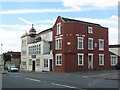
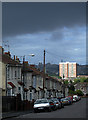
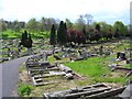
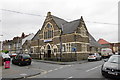
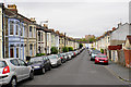
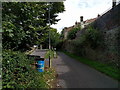
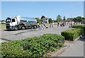
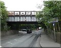
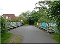
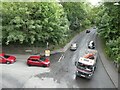
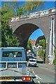
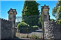
47 photos from this area
Area Information
Key information about the BS5 9AT including its size, population, and administrative classification.
- Area Type
- Postcode
- Area Size
- 2.2 hectares
- Population
- Not available
- Population Density
- Not available
House Prices in BS5 9AT
37
Properties
£233,859
Average Sold Price
£10,000
Lowest Price
£636,000
Highest Price
Showing 37 properties
| Address | Type | Beds | Baths | Last Sale Price | Last Sale Date | |
|---|---|---|---|---|---|---|
| 29 Johnsons Road, Easton, Bristol, BS5 9AT | house | 4 | 2 | £523,000 | Dec 2025 | |
| 7 Johnsons Road, Easton, Bristol, BS5 9AT | Terraced | 4 | 2 | £636,000 | Sep 2024 | |
| 4 Johnsons Road, Easton, Bristol, BS5 9AT | Terraced | 3 | 1 | £370,000 | Jul 2024 | |
| 21 Johnsons Road, Easton, Bristol, BS5 9AT | Terraced | 3 | 1 | £388,360 | Jul 2024 | |
| 33 Johnsons Road, Easton, Bristol, BS5 9AT | house | 3 | 1 | £427,500 | Apr 2023 | |
| 43 Johnsons Road, Easton, Bristol, BS5 9AT | house | 3 | 1 | £420,000 | Nov 2022 | |
| 14 Johnsons Road, Easton, Bristol, BS5 9AT | Terraced | 3 | - | £344,850 | Apr 2021 | |
| 6 Johnsons Road, Easton, Bristol, BS5 9AT | house | - | - | £272,500 | Oct 2020 | |
| 19 Johnsons Road, Easton, Bristol, BS5 9AT | Terraced | 3 | 2 | £275,000 | Feb 2018 | |
| 13 Johnsons Road, Easton, Bristol, BS5 9AT | Terraced | 3 | 1 | £301,500 | Feb 2017 |
Page 1 of 4
Energy Efficiency in BS5 9AT
Amenities
Schools
| Rank | School | Type | Entry gender | Ages |
|---|
Explore more schools in this area
Go to Schools tabDemographics
Household Size
Family (3-5 people)
most common
Accommodation Type
Houses
most common
Tenure
68
majority
Ethnic Group
White
most common
Religion
N/A
most common
Household Composition
N/A
most common
Age
47
median
Adults (30-64 years)
most common
Household Deprivation
N/A
with no deprivation
NS-SEC
43
in Lower managerial occupations
Explore more demographic insights in this area
Go to Demographics tabPlanning
Planning Constraints
- Flood RiskPremium
- Ramsar Wetland SitesPremium
- Area of Outstanding Natural BeautyPremium
- Protected Nature ReservePremium
- Protected WoodlandPremium