Area Overview for BS5 7TE
Photos of BS5 7TE

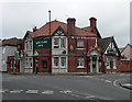
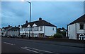
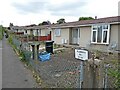
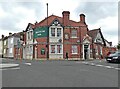
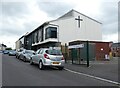
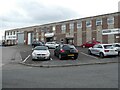
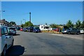
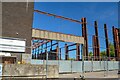
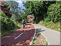
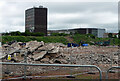
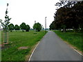
32 photos from this area
Area Information
Key information about the BS5 7TE including its size, population, and administrative classification.
- Area Type
- Postcode
- Area Size
- 9250 m²
- Population
- Not available
- Population Density
- Not available
House Prices in BS5 7TE
36
Properties
£197,551
Average Sold Price
£24,000
Lowest Price
£285,000
Highest Price
Showing 36 properties
| Address | Type | Beds | Baths | Last Sale Price | Last Sale Date | |
|---|---|---|---|---|---|---|
| 14 Brook Road, Speedwell, Bristol, BS5 7TE | Semi-detached | 3 | 1 | £285,000 | Jun 2024 | |
| 22 Brook Road, Speedwell, Bristol, BS5 7TE | house | 3 | 1 | £259,500 | Dec 2021 | |
| 26 Brook Road, Speedwell, Bristol, BS5 7TE | house | - | - | £236,500 | Feb 2021 | |
| 24 Brook Road, Speedwell, Bristol, BS5 7TE | Terraced | 3 | 1 | £240,000 | Dec 2020 | |
| 40 Brook Road, Speedwell, Bristol, BS5 7TE | house | - | - | £236,600 | Nov 2017 | |
| 58 Brook Road, Speedwell, Bristol, BS5 7TE | Terraced | 4 | 2 | £257,500 | May 2017 | |
| 36 Brook Road, Speedwell, Bristol, BS5 7TE | Semi-detached | 3 | 1 | £228,500 | Mar 2016 | |
| 20 Brook Road, Speedwell, Bristol, BS5 7TE | Terraced | 3 | 1 | £169,615 | Nov 2015 | |
| 48 Brook Road, Speedwell, Bristol, BS5 7TE | Semi-detached | 3 | 1 | £182,500 | Jun 2008 | |
| 32 Brook Road, Speedwell, Bristol, BS5 7TE | Semi-detached | - | - | £205,000 | Dec 2007 |
Page 1 of 4
Energy Efficiency in BS5 7TE
Amenities
Schools
| Rank | School | Type | Entry gender | Ages |
|---|
Explore more schools in this area
Go to Schools tabDemographics
Household Size
Family (3-5 people)
most common
Accommodation Type
Houses
most common
Tenure
54
majority
Ethnic Group
White
most common
Religion
N/A
most common
Household Composition
N/A
most common
Age
47
median
Adults (30-64 years)
most common
Household Deprivation
N/A
with no deprivation
NS-SEC
29
in Lower managerial occupations
Explore more demographic insights in this area
Go to Demographics tabPlanning
Planning Constraints
- Flood RiskPremium
- Ramsar Wetland SitesPremium
- Area of Outstanding Natural BeautyPremium
- Protected Nature ReservePremium
- Protected WoodlandPremium