Area Overview for BS5 6JJ
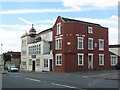
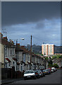
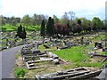
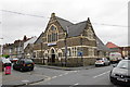
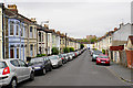
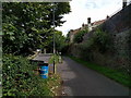
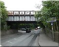
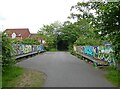
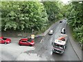
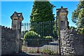
Photos of BS5 6JJ


Area Information
BS5 6JJ is a small postcode area in Bristol, England, covering parts of Easton, St George, and Whitehall within the Easton ward. Situated at coordinates 51.468114° N, -2.562842° W, it is part of the BS5 6 postcode district, which includes residential clusters in the heart of the City of Bristol. This area is tightly defined, with its boundaries aligning with local streets and electoral divisions. Living here means being in a compact, urban environment close to Bristol’s central amenities, including transport links, retail, and cultural hubs. The area’s small size means it is likely to be surrounded by similar postcode districts, each with distinct character but collectively forming a cohesive part of Bristol’s urban fabric. Residents here are likely to be part of a densely populated, mixed-use neighbourhood where residential properties sit alongside commercial and public spaces. The proximity to key areas like Easton and St George suggests access to local services, schools, and community facilities, though specific details about daily life or amenities are not provided in the available data.
- Area Type
- Postcode
- Area Size
- Not available
- Population
- Not available
- Population Density
- Not available
House Prices in BS5 6JJ
No properties found in this postcode.
Energy Efficiency in BS5 6JJ
Amenities
Schools
| Rank | School | Type | Entry gender | Ages |
|---|
Explore more schools in this area
Go to Schools tabDemographics
Household Size
Accommodation Type
Tenure
Ethnic Group
Religion
Household Composition
Age
Household Deprivation
NS-SEC
Explore more demographic insights in this area
Go to Demographics tabPlanning
Planning Constraints
- Flood RiskPremium
- Ramsar Wetland SitesPremium
- Area of Outstanding Natural BeautyPremium
- Protected Nature ReservePremium
- Protected WoodlandPremium