Area Overview for BS49 4PZ
Photos of BS49 4PZ
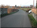
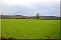
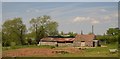
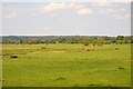
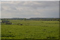
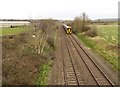
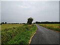
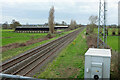
22 photos from this area
Area Information
Key information about the BS49 4PZ including its size, population, and administrative classification.
- Area Type
- Postcode
- Area Size
- 23.1 hectares
- Population
- 2167
- Population Density
- 229 people/km²
House Prices in BS49 4PZ
16
Properties
£511,917
Average Sold Price
£275,000
Lowest Price
£1,375,000
Highest Price
Showing 16 properties
| Address | Type | Beds | Baths | Last Sale Price | Last Sale Date | |
|---|---|---|---|---|---|---|
| Home Farm, Lower Claverham Road, Claverham, BS49 4PZ | Detached | 5 | 3 | £1,375,000 | Nov 2023 | |
| 2, Sweet Briar Cottages, Lower Claverham Road, Claverham, BS49 4PZ | Semi-detached | 3 | 1 | £420,000 | Mar 2023 | |
| Corner Cottage, Lower Claverham Road, Claverham, BS49 4PZ | Semi-detached | - | - | £365,000 | Jul 2013 | |
| 1, Sweet Briar Cottages, Lower Claverham Road, Claverham, BS49 4PZ | Terraced | - | - | £286,500 | May 2007 | |
| Bridleways, Lower Claverham Road, Claverham, BS49 4PZ | Detached | 5 | 3 | £350,000 | Jun 2001 | |
| West View House, Lower Claverham Road, Claverham, BS49 4PZ | Detached | 4 | 3 | £275,000 | Jun 2000 | |
| Maplecroft, Lower Claverham Road, Claverham, BS49 4PZ | Detached | 4 | 3 | - | - | |
| Little Grove, Lower Claverham Road, Claverham, BS49 4PZ | Detached | - | - | - | - | |
| Jasmine Cottage, Jasmine Lane, Claverham, BS49 4PZ | Detached | - | - | - | - | |
| C H J Atwell And Sons, Claverham Court, Lower Claverham Road, Claverham, BS49 4PZ | Farm | - | - | - | - |
Page 1 of 2
Energy Efficiency in BS49 4PZ
Amenities
Schools
| Rank | School | Type | Entry gender | Ages |
|---|
Explore more schools in this area
Go to Schools tabDemographics
Household Size
Two person
most common
Accommodation Type
Houses
most common
Tenure
78
majority
Ethnic Group
White
most common
Religion
N/A
most common
Household Composition
N/A
most common
Age
47
median
Adults (30-64 years)
most common
Household Deprivation
N/A
with no deprivation
NS-SEC
43
in Lower managerial occupations
Explore more demographic insights in this area
Go to Demographics tabPlanning
Planning Constraints
- Flood RiskPremium
- Ramsar Wetland SitesPremium
- Area of Outstanding Natural BeautyPremium
- Protected Nature ReservePremium
- Protected WoodlandPremium