Area Overview for BS49 4FX
Photos of BS49 4FX
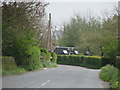
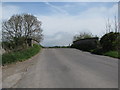
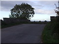
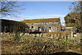
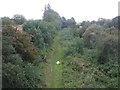
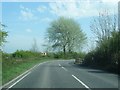
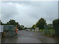
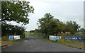
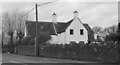
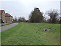
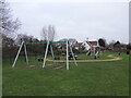
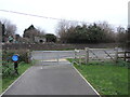
25 photos from this area
Area Information
Key information about the BS49 4FX including its size, population, and administrative classification.
- Area Type
- Postcode
- Area Size
- 1.1 hectares
- Population
- 2167
- Population Density
- 229 people/km²
House Prices in BS49 4FX
15
Properties
£386,385
Average Sold Price
£316,000
Lowest Price
£477,000
Highest Price
Showing 15 properties
| Address | Type | Beds | Baths | Last Sale Price | Last Sale Date | |
|---|---|---|---|---|---|---|
| 2 Stonechat Mews, Yatton, BS49 4FX | Detached | 4 | 2 | £459,000 | Jun 2024 | |
| 18 Stonechat Mews, Yatton, BS49 4FX | house | - | - | £477,000 | Jun 2021 | |
| 12 Stonechat Mews, Yatton, BS49 4FX | house | - | - | £318,000 | Jun 2021 | |
| 20 Stonechat Mews, Yatton, BS49 4FX | house | - | - | £477,000 | Jun 2021 | |
| 8 Stonechat Mews, Yatton, BS49 4FX | house | - | - | £318,000 | Jun 2021 | |
| 10 Stonechat Mews, Yatton, BS49 4FX | house | - | - | £316,000 | Jun 2021 | |
| 4 Stonechat Mews, Yatton, BS49 4FX | house | - | - | £326,000 | May 2021 | |
| 6 Stonechat Mews, Yatton, BS49 4FX | house | - | - | £329,000 | May 2021 | |
| 7 Stonechat Mews, Yatton, BS49 4FX | house | - | - | £450,000 | May 2021 | |
| 9 Stonechat Mews, Yatton, BS49 4FX | house | - | - | £476,000 | Apr 2021 |
Page 1 of 2
Energy Efficiency in BS49 4FX
Amenities
Schools
| Rank | School | Type | Entry gender | Ages |
|---|
Explore more schools in this area
Go to Schools tabDemographics
Household Size
Two person
most common
Accommodation Type
Houses
most common
Tenure
78
majority
Ethnic Group
White
most common
Religion
N/A
most common
Household Composition
N/A
most common
Age
47
median
Adults (30-64 years)
most common
Household Deprivation
N/A
with no deprivation
NS-SEC
43
in Lower managerial occupations
Explore more demographic insights in this area
Go to Demographics tabPlanning
Planning Constraints
- Flood RiskPremium
- Ramsar Wetland SitesPremium
- Area of Outstanding Natural BeautyPremium
- Protected Nature ReservePremium
- Protected WoodlandPremium