Area Overview for BS48 4RH
Photos of BS48 4RH
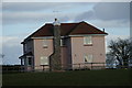


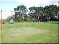
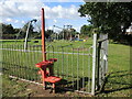
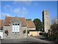
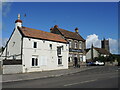
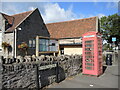
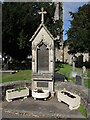
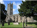
26 photos from this area
Area Information
Key information about the BS48 4RH including its size, population, and administrative classification.
- Area Type
- Postcode
- Area Size
- 1.3 hectares
- Population
- 1376
- Population Density
- 214 people/km²
House Prices in BS48 4RH
17
Properties
£312,100
Average Sold Price
£90,000
Lowest Price
£535,000
Highest Price
Showing 17 properties
| Address | Type | Beds | Baths | Last Sale Price | Last Sale Date | |
|---|---|---|---|---|---|---|
| 20 Engine Lane, Nailsea, BS48 4RH | Detached | 5 | 3 | £535,000 | Aug 2019 | |
| 10 Engine Lane, Nailsea, BS48 4RH | Detached | 4 | - | £395,000 | Jun 2017 | |
| 18 Engine Lane, Nailsea, BS48 4RH | house | - | - | £377,000 | Aug 2016 | |
| 34 Engine Lane, Nailsea, BS48 4RH | Detached | 3 | - | £389,995 | Aug 2015 | |
| 12 Engine Lane, Nailsea, BS48 4RH | house | 4 | - | £320,000 | May 2011 | |
| 2 Engine Lane, Nailsea, BS48 4RH | house | 4 | - | £334,000 | Sep 2010 | |
| 22 Engine Lane, Nailsea, BS48 4RH | Detached | - | - | £350,000 | May 2006 | |
| 8 Engine Lane, Nailsea, BS48 4RH | Detached | - | - | £155,000 | Mar 2001 | |
| 4 Engine Lane, Nailsea, BS48 4RH | Detached | - | - | £175,000 | Mar 2000 | |
| 16 Engine Lane, Nailsea, BS48 4RH | Retail | 4 | - | £90,000 | Nov 1995 |
Page 1 of 2
Energy Efficiency in BS48 4RH
Amenities
Schools
| Rank | School | Type | Entry gender | Ages |
|---|
Explore more schools in this area
Go to Schools tabDemographics
Household Size
Two person
most common
Accommodation Type
Houses
most common
Tenure
92
majority
Ethnic Group
White
most common
Religion
N/A
most common
Household Composition
N/A
most common
Age
47
median
Elderly (65+ years)
most common
Household Deprivation
N/A
with no deprivation
NS-SEC
46
in Lower managerial occupations
Explore more demographic insights in this area
Go to Demographics tabPlanning
Planning Constraints
- Flood RiskPremium
- Ramsar Wetland SitesPremium
- Area of Outstanding Natural BeautyPremium
- Protected Nature ReservePremium
- Protected WoodlandPremium